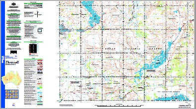
Throssell 1-250,000 Topographic Map
$15.95 – $30.95
Description:
Print on Demand
Locations within this Map
Ardagh Rocks Beckys Bore Beegull Waterholes Bhildbit Soak Blackboy Rocks Blaxland Range Broom Bore Buldya Soak Cowderoy Hill Dead Sheep Bore Diorite Bore Eurothurra Rockhole Farquharson Tableland Gladys Paterson Hills Gnamal Rockholes H.T. Granites Harris Hill Hoffman Range Jutson Rocks Jutson Soak Jutson Well Lake Throssell Lake Wells Lake Wells Bore Lang Rock Lang Well Limestone Well Mi Mi Rocks Minnie Creek Mount Barrett Bore Mount Barrett Rockhole Mount Cornell Mount Cumming Mount Feldtmann Mount Gill Mount Jones Mount Shenton Mount Strawbridge Mount Warren Nellie Hayes Creek Newland Range Nichols Knob Nullye Soak Patricia Locke Range Point Newland Point Virginia Pollards Pool Scarr Hills Shenton Soak Truscott Hills Uhr Soak Ulrich Range Virginia Range Warburton Range Stock Route Wurr Sinkhole Yeo Lake Yilly Yilly Bore Yilly Yilly Rockhole Ernest Giles Range Miamia Rocks Gibson Hill Mount Feldtman Harris Hills Cables
| Name: | Throssell |
| Publisher: | Geoscience Australia (Australian Government) |
| Scale: | 1:250000 |
| Latitude Range: | 27° 00.0′ S – 28° 00.0′ S |
| Longitude Range: | 123° 0.0′ E – 124° 30.0′ E |
| Projection / Datum: | Universal Transverse Mercator, GDA94 |
| Approx Print Size: | 0.44m X 0.67m |
| Publication Date: | 1-Jun-03 |


