Turkmentistan Map Gizi
$25.95
1 in stock
Description:
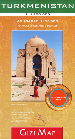
Turkmenistan 1:1,300,000 Travel map with Ashgabat street plan GIZI
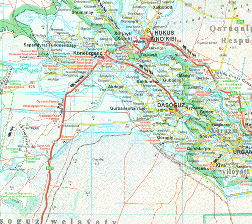
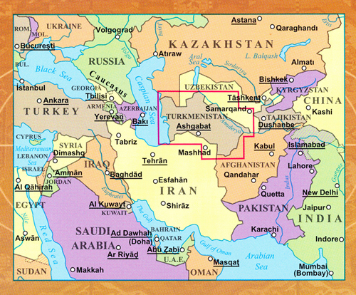
An indexed map of Turkmenistan at 1:1,300,000 with altitude colouring and graphics providing an excellent picture of the country’s topography, marking for the routes of the old Silk Road, oil or gas wells and pipelines, etc, plus a street plan of Ashgabat. Sheet size 99 x 70 cm / 39″ x 27.5″. Multilingual map legend includes English.
Topography is shown by altitude colouring, names of mountain ranges, deserts, etc, plus numerous spot heights and graphics indicating deserts, salt flats and swamps. Water wells and aqueducts, as well as the country’s national parks and other protected areas are also marked. The map shows the road network, including desert tracks, with locations of border crossings and driving distances on main and selected secondary routes. Symbols indicate roads and tracks which were part of the Silk Road. Railway lines are included and local airports are marked. Various places of interest are highlighted, including historical sites and natural curiosities. The map also shows internal administrative boundaries and names of the provinces, and oil or gas wells and pipelines. Latitude and longitude lines are drawn at 1º. The index is next to the map and includes a separate list of places of interest.
Also provided is a street plan of Ashgabat, showing names of principal streets and districts, important buildings and institutions, museums, selected hotels, etc.
- Publisher : Gizi (January 1, 2015)
- Language : English
- Map : 1 pages
- ISBN-10 : 8070043008
- ISBN-13 : 9786155010132