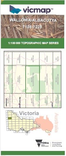
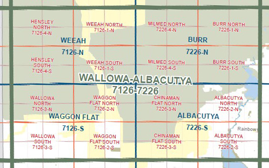
WALLOWA ALBACUTYA 1-100,000 Vicmap Topo 7126-7226
$14.00
Description:
WALLOWA ALBACUTYA 1-100,000 Vicmap Topographic Map 7126-7226 NOW PRINT ON DEMAND is used for Walking, 4WD, Fishing, Camping, Motorcycle, both On and Off Road, Gold Prospecting and for those simply going for a family weekend drive.
This is a new series of 1-100,000 scale maps, all sections of Victoria are covered by these maps.
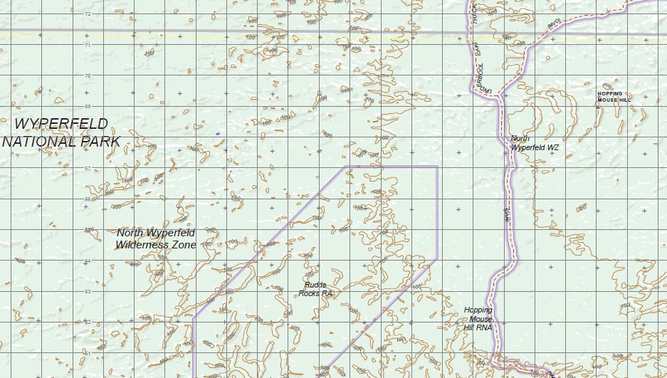
Topographical maps show not only Contours of the Terrain but Walking Tracks, Sealed and Unsealed Roads, Rivers, Creeks, Lakes, Historical Points of Interest, Old Mine Sites and National and State Park areas.
Main Features of this map includes:
Part of the WYPERFELD NATIONAL PARK, South Wyperfeld Wilderness Zone, North Wyperfeld Wilderness Zone, northern section of Lake Hindmarsh,
Part of the BIG DESERT WILDERNESS PARK, BUCKHURST STATION AIRFIELD, Telopea Downs RA, Waggon Flat, Chinaman Flat Wilderness Zone, Hopping Mouse Hill RNA, Kurnbrunin, BIRDCAGE F.F.R., Pella, WIMMERA RIVER HERITAGE AREA PARK, LOOKOUT DUNE, Albacutya, LAKE ALBACUTYA PARK, Werrap, Rainbow
You may also like…
-
Burr 1-50,000 Vicmap
Price range: $12.00 through $24.00Select options This product has multiple variants. The options may be chosen on the product page -
Albacutya 1-100,000 Topographic Vicmap
Price range: $13.95 through $28.95Select options This product has multiple variants. The options may be chosen on the product page -
Weeah 1-50,000 Vicmap
Price range: $12.00 through $24.00Select options This product has multiple variants. The options may be chosen on the product page