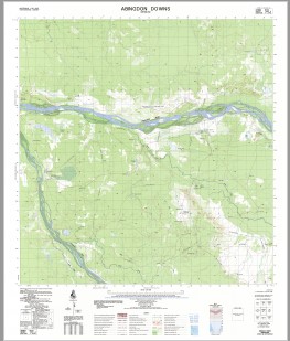
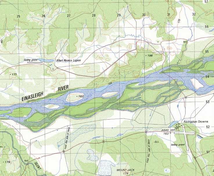
Abingdon Downs 1-50000 Topographic Map 7562-4 QLD
$14.95 – $27.95
Description:
Print on Demand
Locations within this Map
Abingdon Albert Nyanza Lagoon Back Creek Camp Creek Dance Creek Mount Emu Harry Lagoon Hill Lagoon Mount Jack Lucy Lagoon Ripon Silent Creek Soldiers Cap Womblealla Yard Creek Abingdon Downs Danes Creek
| Name: | Abingdon Downs |
| Publisher: | Geoscience Australia (Australian Government) |
| Scale: | 1:50000 |
| Latitude Range: | 17° 30.0′ S – 17° 45.0′ S |
| Longitude Range: | 143° 0.0′ E – 143° 15.0′ E |
| Projection / Datum: | Universal Transverse Mercator, GDA94 or WGS84 |
| Approx Print Size: | 0.56m X 0.56m |
| Publication Date: | 1-Jun-89 |
Read More


