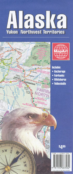
Alaska Map Mapart
Description:
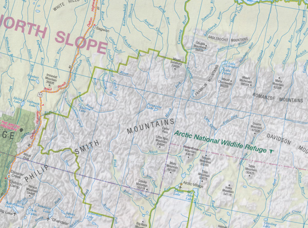
This map covers all of the Yukon and extends west to cover the eastern half of Alaska, as far as the Kenai Peninsula in the south and Kobuk Valley National Park in the north. To the east the map goes as far as Yellowknife and Hay River in the Northwest Territories with an inset covering the rest of Great Slave Lake.
The map has good road detail showing principal and multi-lane highways down to minor local roads with intermediate road distances shown on all roads (amusingly in miles for Alaska and kilometres for the Yukon and Northwest Territories). Administrative boundaries are cleraly marked as are time zones. Ferries, railways and major and minor airports are shown as well as range of other tourist information like 24hr border crossings, points of interest, camping areas (and no camping areas), national parks and ski areas.
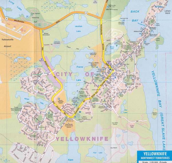
The reverse side of the map has some very detailed street maps of Anchorage, Fairbanks, Whitehorse, Yellowknife, Skagway and Dawson City with road names and various useful buildings marked out. Another inset shows the Alaska Panhandle at 1:1 600 000.
ISBN 9781553683582
066770203584
Scale 1:2 000 000


