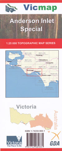
Andersons Inlet 1-25,000 Vicmap Topographic Map
Price range: $14.00 through $26.00
Description:
Available Flat Paper and Laminated
Andersons Inlet 1-25,000 scale Vicmap Topographical map is used for Walking, 4WD, Fishing, Camping, Motorcycle, both On and Off Road, Gold Prospecting and for those simply going for a family weekend drive.
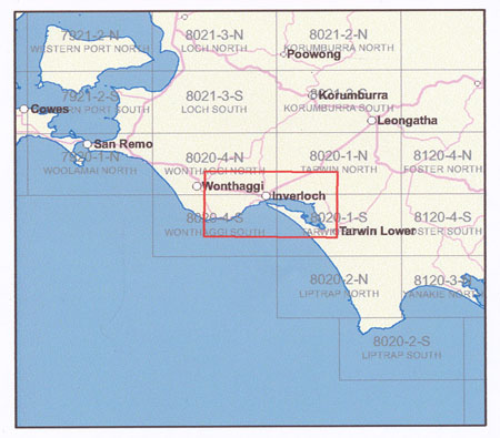
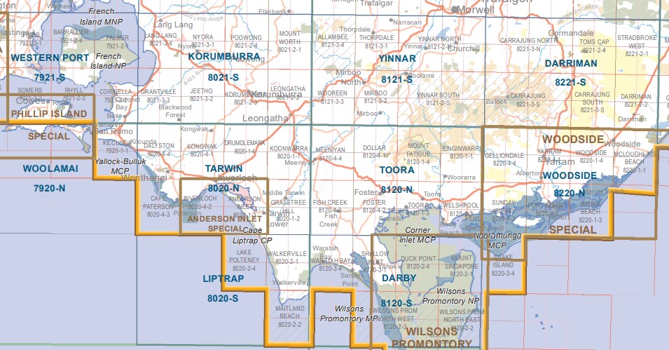
This is a new series of 1-25,000 scale maps, only certain sections of Victoria are covered by these maps.
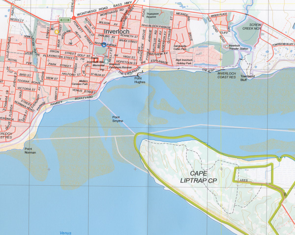
Topographical maps show not only Contours of the Terrain but Walking Tracks, Sealed and Unsealed Roads, Rivers, Creeks, Lakes, Historical Points of Interest, Old Mine Sites and National and State Park areas.
Main Features of this map includes:
Covers the Old Series Inverloch and Andersons Inlet 1-25,000 maps
Inverloch, Venus Bay, Tarwin Lower, Andersons Inlet, Cape Paterson, STATE COAL MINE Historic Region, INVERLOCH COAST RESERVE, WONTHAGGI, CAPE PATTERSON COAST RESERVE, DRUMDLEMARA, POINT SMYTHE COAST RESERVE, Screw Creek, Pound Creek, Cape Litrap Coastal Park
You may also like…
-
South Gippsland Wilsons Promontory Map Rooftop
Price range: $11.95 through $25.00Select options This product has multiple variants. The options may be chosen on the product page -
Tarwin 1-50,000 Vicmap Topographical Map 8020-N
Price range: $14.00 through $26.00Select options This product has multiple variants. The options may be chosen on the product page