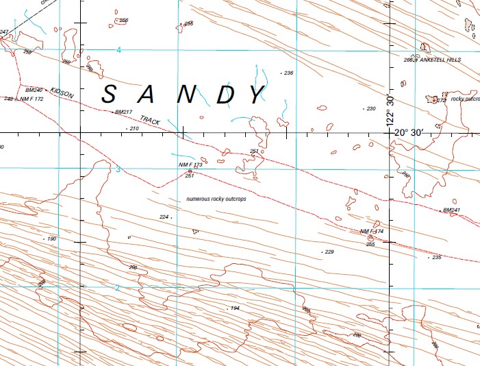
Anketell 1-250,000 Topographic Map
$15.95 – $30.95
Description:
Locations within this Map
Anketell Hills Weenoo Soak Citadell Hill Cuncudgerie Hill part of the Kidson Track to Wapet Road many rocky outcrops and many sand dunes covering the entire map
| Name: | Anketell |
| Publisher: | Geoscience Australia (Australian Government) |
| Scale: | 1:250000 |
| Latitude Range: | 20° 0.0′ S – 21° 0.0′ S |
| Longitude Range: | 121° 30.0′ E – 123° 0.0′ E |
| Projection / Datum: | Universal Transverse Mercator, GDA94 |
| Approx Print Size: | 0.44m X 0.67m |
| Publication Date: | 1-Jun-99 |
Read More


