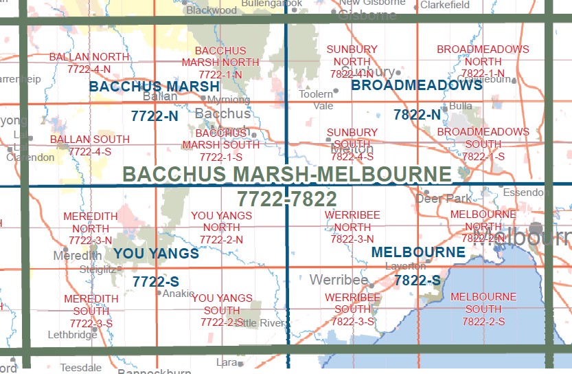
Bacchus Marsh SOUTH 1-25,000 Vicmap Topographic Map 7722-1-S
$14.00 – $26.00
Description:
Bacchus Marsh SOUTH 1-25,000 Vicmap Topographic Map 77221S Now Print On Demand is used for Walking, 4WD, Fishing, Camping, Motorcycle, both On and Off Road, Gold Prospecting and for those simply going for a family weekend drive.
This is a new series of 1-25,000 scale maps, all sections of Victoria are now covered by these maps, including maps over the South Australian and NSW Borders.
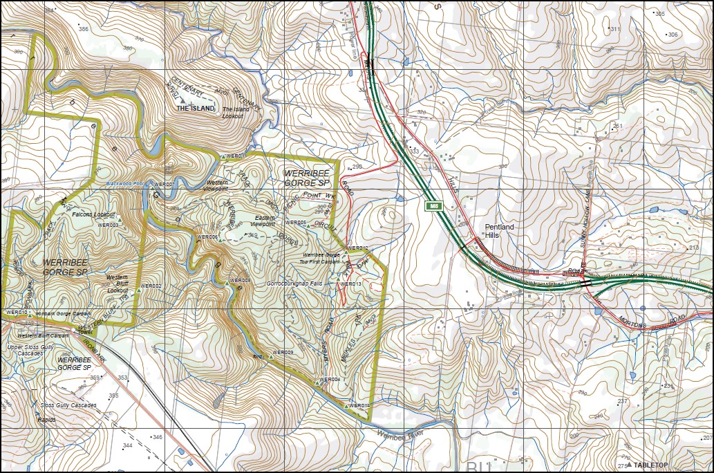
Topographical maps show not only Contours of the Terrain but Walking Tracks, Sealed and Unsealed Roads, Rivers, Creeks, Lakes, Historical Points of Interest, Old Mine Sites mbtg and National and State Park areas.
Main Features of this map includes:
Cover the old series 1-25,000 maps Ingliston and Lerderderg
Bacchus Marsh, Merrimu, Glenmore, Part of Brisbane Ranges NP, Part of the great Dividing Range, Pentland Hills, Darley, part of Lerderderg SP, Goodman Creek, Merrimu Reservoir, Merrimu Track, Parwan Creek, Mount Darriwill, mbtg, Lake Dewar Lodge YMCA, Korjamnunnip Creek, Long Forest FFR, Sunnystones Country Retreat, Lerderderg River, The Island Lookout, Werribee Gorge SP, Parwan Falls, mbtg, Ingliston Gorge, Ingliston Track, Upper Sloss Gully Cascades, Ironbark Gorge Track, Western Bluff Lookout, Gorrocburkghap Falls, Blackwood Pool, Falcons Lookout, mbtg, Hopetoun Park, Pyrites Creek, Anthonys Cutting, Pyrites, Gorrock, Yaloak Vale, Melton Reservoir, Rowsley, Spring Creek.


