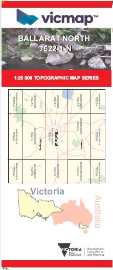
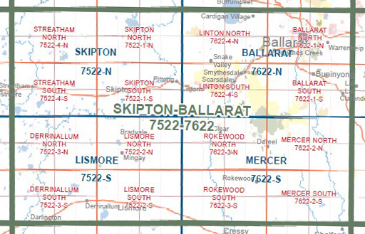
BALLARAT NORTH 1-25,000 Vicmap Topo Map 7622-1-N
$14.00 – $26.00
Description:
BALLARAT NORTH 1-25,000 Vicmap Topographic Map 76221N Now Print On Demand is used for Walking, 4WD, Fishing, Camping, Motorcycle, both On and Off Road, Gold Prospecting and for those simply going for a family weekend drive.
This is a new series of 1-25,000 scale maps, all sections of Victoria are now covered by these maps, including maps over the South Australian and NSW Borders.
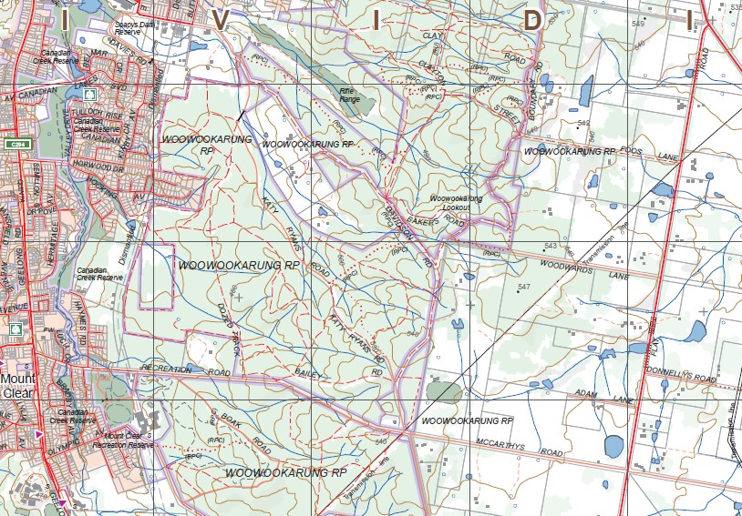
Topographical maps show not only Contours of the Terrain but Walking Tracks, Sealed and Unsealed Roads, Rivers, Creeks, Lakes, Historical Points of Interest, Old Mine Sites, mbtg and National and State Park areas.
Main Features of this map includes:
Now also covers the old series 1-25,000 maps WENDOUREE and WARRENHEIP
Ballarat, Wendouree, Wendouree West, Bungaree, Warrenheip, Canadian, Sovereign Hill, Sebastopol, Mount Pleasant, Dunnstown, Glen Park, Mitchell Park, Invermay, North Common Wetland Reserve, Macarthur Wetlands, Mount Rowan, mbtg Park of Creswick State Forest, Part of Glen Park State Forest, Creswick Plantation, White Swan Reservoir, California Gully, Dead Horse Gully, Clarkes Hill, Green Hill, Gong Gong Reservoir, Nerrina Historic Area, Mullawallah Swamp, mbtg,Winter Swamp Reserve, Woady Yaloak River, Bunkers Hill, Lake Wendouree, Mount Warrenheip, Woowookarung Recreational Park, Smythes Creek, Part of Yarowee Plantation, Mount Clear, Ironstone Hill, Part of The Great Dividing Range, mbtg, Fisken Hill, Navigators, Yarowee River Reserve, Magpie.