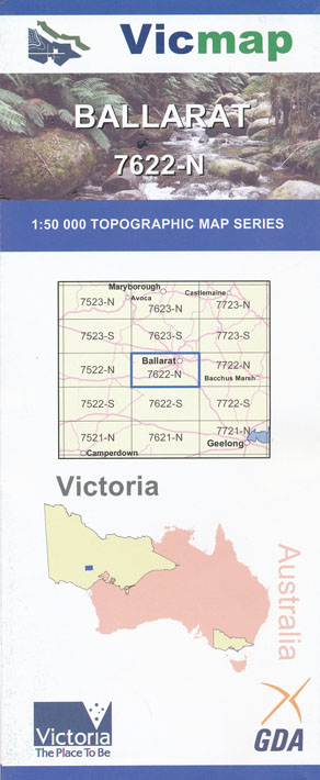
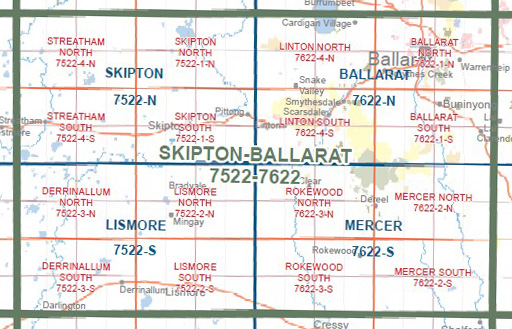
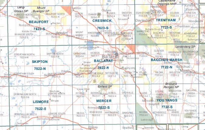
Ballarat 1-50,000 Vicmap
$12.00 – $24.00
Description:
Ballarat 1-50,000 scale Vicmap Topographical map 7622N is used for Walking, 4WD, Fishing, Camping, Motorcycle, both On and Off Road, Gold Prospecting and for those simply going for a family weekend drive.
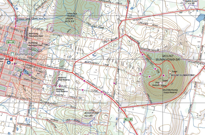
Topographical maps show not only Contours of the Terrain but Walking Tracks, Sealed and Unsealed Roads, Rivers, Creeks, Lakes, Historical Point of Interest, Old Mine Sites mbtg and National and State Park areas.
Main Features of this map includes:
Ballarat, Wendouree, Wendouree West, Bungaree, Warrenheip, Canadian, Sovereign Hill, Sebastopol, Mount Pleasant, Dunnstown, Glen Park, Mitchell Park, Invermay, North Common Wetland Reserve, Macarthur Wetlands, Mount Rowan, mbtg Park of Creswick SF, Part of Glen Park State Forest, Creswick Plantation, White Swan Reservoir, California Gully, Dead Horse Gully, Clarkes Hill, Green Hill, Gong Gong Reservoir, Nerrina Historic Area, Mullawallah Swamp, mbtg, Winter Swamp Reserve, Woady Yaloak River, Bunkers Hill, Lake Wendouree, Mount Warrenheip, Woowookarung RP, Smythes Creek, Part of Yarowee Plantation, Mount Clear, Ironstone Hill, Part of The Great Dividing Range, mbtg, Fisken Hill, Navigators, Yarowee River Reserve, Magpie, mbtg, Cambrian Hill, Mount Helen, Yendon, Buninyong, Napoleons, Taylor Hill, Enfield SF, Garibaldi, Clarendon, Yarowee River Reserve, Part of Ross Creek SF, mbtg, Scotsburn, Scotchmans Lead, Durham Lead, Part of Yarowee Plantation, Monza Park, Ballarat East Mine, Fiskin Hill, Granite Creek, Mount Buninyong SR, Union Jack Reserve, Grenville Hill, mbtg, Billy Goat Flat, Murray Bridge, Taylors Hill Mine, Enfield Plantation, Clarendon Plantation, Hardie Hill, Part of the Great Dividing Range, Bald Hill.
Haddon, Cardigan, Kopke, Hillcrest, Snake Valley, Carngham, Mortchup, Reedy Creek, Black Swamp, Baillie Creek, Lake Burrumeet, Cardigan Village, Bo Peep, mbtg, Green Hill, Black Hill, Canico Creek, Carngham Plantation, Spring Hill Creek, Bignall Bridge, Poverty Point, Bottle Hill, Sago Hill, Bunkers Hill, Nintingbool, mbtg, top of The Great Dividing Range, Smythesdale /Ngarinyook State Forest, Preston Hill, Green Hill, mbtg, Smythesdale, Scarsdale, Happy Valley, Sugarloaf Hill, Madden Flat, Hard Hills, Chinaman Flat, Linton/Nawnight – Widwid State Forest, Nagshead Gully, Smythesdale / Ngarinyook State Forest, Woady Yallock River, Argyle Hill, Fraser Hill, Surface Hill Historic Region, Ross Creek State Forest, Caledonian Creek, Watson Hill, mbtg, Scarsdale Plantation, Cherry Tree Hill Fire Lookout, Oldham Gully, mbtg, Mount Bute, Flagstaff Hill, Dillons Hill, Dreamers Hill, Argyle Quarry, Canterbury Quarry, Morey Quarry, Linton FFR, Devils Kitchen, Piggoreet, Clarkesdale, Jubilee HA, mbtg, Italian Gully, Enfield SP, Mount Misery Creek, Bald Hill, Staffordshire Reef, Berringa State Forest, Mount Erip, Weston Hill, Mt Yirip SF.


