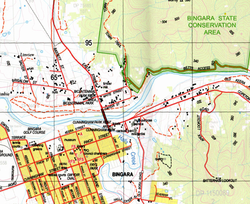
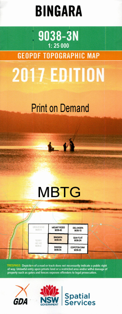
Bingara 1-25,000 NSW Topographic Map
$16.95 – $31.95
Description:
9038-3-N Print on Demand
Bingara 90383n 1-25,000 Scale NSW Topographical Map is usedfor Walking, 4WD, Fishing, Camping, Motorcycle, both On and Off Road, GoldProspecting and for those simply going for a family weekend drive.
Topographicalmaps show not only Contours of the Terrain but also Walking Tracks, Sealed andUnsealed Roads, Rivers, Creeks, Lakes, Historical Point of Interest, Old MineSites and National and State Park areas.
 Laminate and folded this NSW Topographical map, $12.00 see below.
This map includes the following localities: Emoh Ruo Glendee Cara Pine Trees Windsor Myall Creek Yeral Mulwarie Beaufort Wahgunyah Woodville Benbraggie The Park Wongalea Rockwell Woodlands The Glebe Barrak Bingara Bangheet Bobby Whitlow Bobby Whitlow Creek Bobby Whitlow Public School Bingara Central School Bingara Post Office Bingara State Forest Bingara Cemetery Town of Bingara Boonal Cunningham Park Derra Derra Durham Eaglehawk Creek Evans Fensons Creek Holdfast Crossing Horseshoe Creek Cedar Tree Creek Fensons Gully Four Mile Creek Head of Ottleys Creek Horse Gully Horseshoe Gully Long Arm Creek Long Arm Gully Molroy Myall Stockyard Creek Stockyard Gully Teatree Creek Teatree Gully Tea Tree Gully Ti Tree Creek Tucka Tucka Tubble Gah Western Branch of Ottleys Creek Whitlow Whitlow Creek Doctors Creek Bushby Creek Byrnes Creek Byrnes Gully Longarm Gully Reading Creek
| Scale: | 1:25000 |
| Latitude Range: | 29 45.0 S – 29 52.5 S |
| Longitude Range: | 150 30.0 E – 150 45.0 E |
| Approx Print Size: | 0.56m X 1.11m |
| Projection: | Transverse Mercator |


