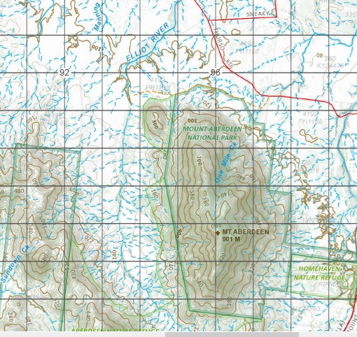
Bogie 1-100,000 Topographic Map
$15.95 – $30.95
Description:
Locations within this Map
Blue Valley Rangeview Ashman Creek Bluewater Creek Bogie Range Bogie River Bonnie Doon Creek Bonnie Doon Hills Bowen River Breakfast Creek Carse Creek Mount castor Dalbeg De Salis Dingo Creek Dirrill Dozer Creek Eight Mile Creek Expedition Pass Expedition Pass Creek Mount Glenroy Johnnycake Creek Mount Johnnycake King Creek Mount King Kirknie Creek Lagoon Creek Landers Latham Little Spring Creek Millaroo Morer Mount Harris Well Oaky Creek Pine Creek Pink Lily Lagoon Plain Creek Pollux Mount Pollux Robey Sandalwood Sandalwood Creek Scott Creek Spring Creek Strathalbyn Swans Lagoon Teatree Creek Turkey Creek Mount Wickham Millaroo Creek McGregors Bonnet Brown Creek Johnny Cake Creek Mount Johnny Cake
| Name: | 8357 |
| Publisher: | Queensland Government |
| Scale: | 1:100000 |
| Latitude Range: | 20° 0.0′ S – 20° 30.0′ S |
| Longitude Range: | 147° 0.0′ E – 147° 30.0′ E |
| Projection / Datum: | Universal Transverse Mercator, GDA 94 |
| Approx Print Size: | 0.56m X 0.56m |
Read More


