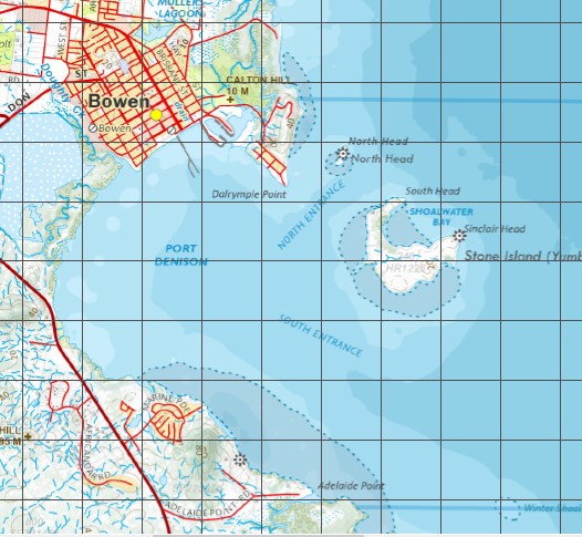
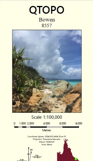
Bowen 1-100,000 Topographic Map
Price range: $15.95 through $30.95
Description:
Locations within this Map
Caley Valley Abbot Point Alligator Lagoon Bald Hill Bells Waterhole Bowen Branch Creek Breakfast Creek Caley Valley Waterholes Clark Shoal Don River Edgecumbe Heights Cape Edgecumbe Euri Creek Gloucester Head Goodbye Creek Holbourne Island Horseshoe Bay Kaili Mount Little Long Waterhole Mount Luce Magnetic Creek Maria Creek Middle Island Mother Beddick Mount Nutt Waterholes Mount Stuart Creek Mullers Lagoon Murray Bay Nares Rock North Rock Nulla Waterhole Mount Nutt Queens Bay Queens Beach Rose Bay Roundback Mount Roundback Salisbury Plains Saltwater Creek Six Mile Creek Spring Creek Sprole castle Tabletop Creek The Green Swamp The Lake Three Dinner Creek Wathana Holbourne Island National Park Greys Bay Holborne Island Wilmington Mount Esk Inveroona Inverncoona Mount Nuts Don Hill Mount Mother Beddick Alligator Lagoons Bowen Hill Town Hill
| Name: | 8558 |
| Publisher: | Queensland Government |
| Scale: | 1:100000 |
| Latitude Range: | 19° 30.0′ S – 20° 0.0′ S |
| Longitude Range: | 148° 0.0′ E – 148° 30.0′ E |
| Projection / Datum: | Universal Transverse Mercator, GDA 94 |
| Approx Print Size: | 0.56m X 0.56m |