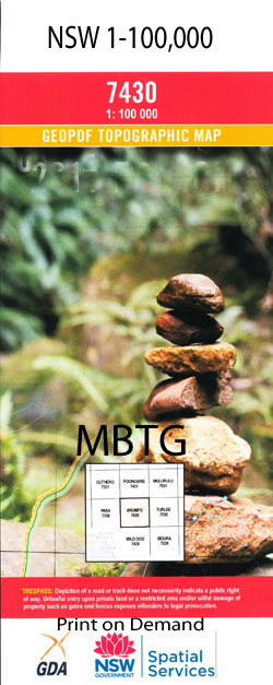
Booroondarra 1-100,000 NSW Topographic Map
Price range: $16.95 through $31.95
Description:
Locations within this Map
Rocky Glen Booroondarra Downs Gidgee Pulpulla Wuttagoona Blue Hills Mount Gap Mumboana Mount Grenfell Lynwood Tambua Cubba Mulga Downs Army Pass Back Paddock Creek Booroondarra Booroondara Mount Booroondara Mount Booroondarra Booroondarra Tank Brigalow Hill Buckwaroon Creek Mount Buckwaroon Charlies Creek Choy Flat Rock Creek Front Creek Gidgiegolambo Creek Grenfell Creek Gum Waterhole Deep Creek Five Mile Creek Gidgiegolamba Creek Gidgiegalumba Creek Kenindee Creek Kinindee Creek Kitty Leopardwood Hill Leopardwood Ridge Little Bondi Waterhole Martins or Whitehorse Creek Momble Creek Mount Grenfell Historic Site Mulga Waterhole Mumble Creek Mumboana Creek Mumbowanna Creek North Gap Pangunya Creek Pangunyah Creek Power Line Pass Rays Creek Red Creek Rocky Waterhole Seven Mile Creek Stony Creek Tambua Creek Theuramble Creek Thourumbie Creek Two Mile Creek White Log Waterhole Willies Creek Wiltagoona Creek Wittagoona Wittagoona Creek Duck Waterhole Duck Hole Twenty Mile Tank Pulpulla Spring Wittaguna Coolibah Turner Gidgie Mumbowanna Walshe Bright Buckwaroon Bundaline Cookadini Emu Kenindee Maranoa Momble Pangunya Kerrigundi Mombie Creek Booroondara Downs Wiltagoonah Marekitty Wambranna Linwood
| Name: | Booroondarra |
| Publisher: | New South Wales Government |
| Scale: | 1:100000 |
| Latitude Range: | 31° 0.0′ S – 31° 30.0′ S |
| Longitude Range: | 145° 0.0′ E – 145° 30.0′ E |
| Datum: | GDA 94 |
| Approx Print Size: | 0.56m X 0.56m |