
British Isles Map National Geographic
Price range: $40.00 through $50.00
Description:
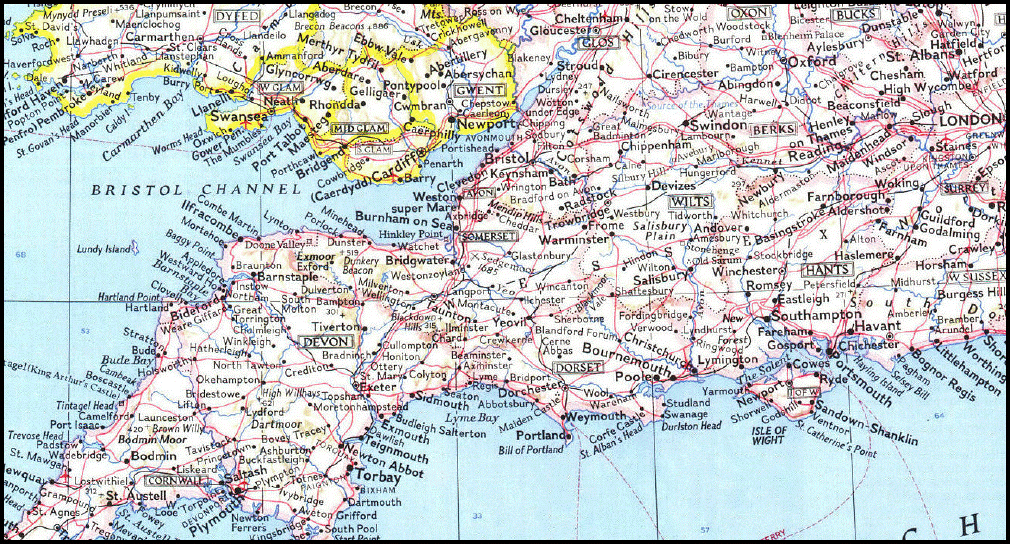
British Isles Map National Geographic Edition 1979
This attractive modern map of the British Isles includes ferry routes along with places of interest such as ruins and battle sites. Published in October 1979 as a companion to the historical map “Shakespeare’s England”.
Approximate Size 770 x 590
Read More