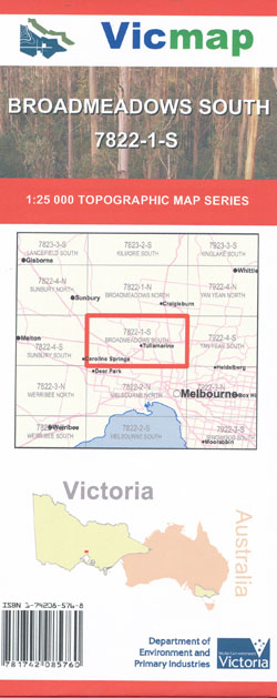
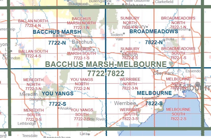
BROADMEADOWS SOUTH 1-25,000 Vicmap Topographic Map 7822-1-S
$12.00 – $24.00
Description:
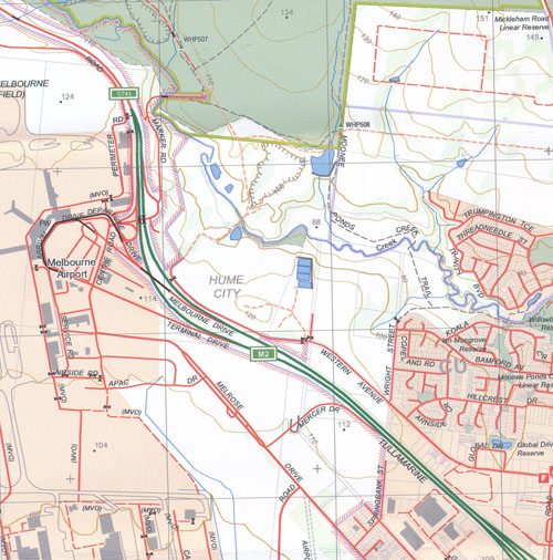
BROADMEADOWS SOUTH 1-25,000 Vicmap Topographic Map 7822-1-S is used for Walking, 4WD, Fishing, Camping, Motorcycle, both On and Off Road, Gold Prospecting and for those simply going for a family weekend drive. This is a new series of 1-25,000 scale maps, only certain sections of Victoria are covered by these maps. Topographical maps show not only Contours of the Terrain but Walking Tracks, Sealed and Unsealed Roads, Rivers, Creeks, Lakes, Historical Points of Interest, Old Mine Sites and National and State Park areas mbtg.
Main Features of this map includes:
Replaces the Out of Print Old Series Maps Keilor and Broadmeadows
Tullamarine Airport, Essendon, Western Ring Road Calder Highway Edge of Thornbury, Holden Bridge, JACKSONS CREEK SSR, ORGAN PIPES National Park, ORGAN PIPES Track, Calder Park Motorsport Complex, Sydenham, Taylors Hill, Delahey, Caroline Springs, Burnside Heights, St Albans, Kealba, Keilor Downs, Sydenham Park, Bulla, mbtg, Woodlands Historic Park, Greenvale, Melbourne Airport, Niddrie, Airport West, Strathmore, Gladstone Park, Jacana, Greenvale Reservoir, Roxburgh Park, Meadow Heights, Dallas, Broadmeadows, Glenroy, Pascoe Vale, Coburg May Street, Fawkner, Hadfield, Campbellfield, Somerton


