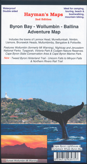
Byron Bay Wollumbin Mt Warning Ballina Map Hayman
$14.95
Description:
Byron Bay Wollumbin Mt Warning Ballina Map Hayman Waterproof
NSW Far North Coast
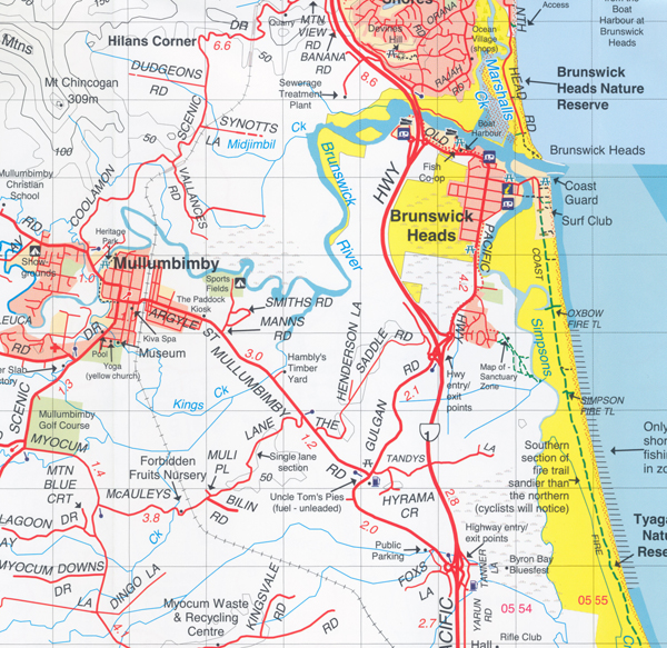
Includes: Lennox Head, Murwillumbah, Nimbin, Lismore, Brunswick Heads, Mullumbimby, Bangalow, Pottsville, Wollumbin NP, Nightcap NP, Jerusalem NP, plus all localities and Nature Reserves in between.
Information includes walking tracks, vehicle tracks, roads, estuaries, watercourses, places of interest, camping areas, boat ramps etc.
- Scale: 1:50 000
- Updated: 2023
- Double sided with overlapping panel
- Suitable for use with GPS
- Walking tracks and campsites
- Map Size: 100cm x 70cm approx
- Colour with contours, photographs & notes
Side 1 covers the region bounded by Brunswick Heads, Nimbin, Tyalgum, Chillingham, Murwillumbah and Cabarita Beach. The many national parks and the extensive trails that exist within are featured on this side of the map. Wollumbin Mt Warning, Mt Jerusalem and Nightcap National Parks are all featured, together with lesser known national parks such as Mooball and Billinudgel. Side 1 includes an enlargement of Cape Byron State Conservation Area. Includes the New Tweed Byron Hinterland Trail – Unicorn Falls to Minyon Falls (multiday hiking trail) and Northern Rivers Rail Trail (Tweed Section now open).
Side 2 covers the region bounded by Ballina, Byron Bay, Llismore, The Channon and Nightcap National Park. The Southern section of Nightcap National Park is on this side of the map, as well as The Channon, site of the Channon markets, together with Victoria Park and Uralba Nature Reserves.
Inset of Cape Byron and Marine Park Sanctuary Zone
Scale Main Map: 1:50,000
Edition: 2
Published: 2023
ISBN 794712939757