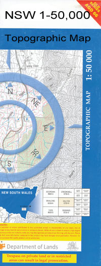
Caloona 1-50,000 NSW Topographic Map
$16.95 – $31.95
Description:
Caloona 8730s 1-50,000 scale NSW Topographical map is used for Walking, 4WD, Fishing, Camping, Motorcycle, both On and Off Road, Gold Prospecting and for those simply going for a family weekend drive.
Topographical maps show not only Contours of the Terrain but also Walking Tracks, Sealed and Unsealed Roads, Rivers, Creeks, Lakes, Historical Point of Interest, Old Mine Sites and National and State Park areas.
 We can Now LAMINATE and fold your map for $12.00. Just click on the image and add to the Trolley
Locations within this Map
Kelvington Werrina Wilga Bundori Claremont Refuge Nekarboo Mugan Yarrowee Mertona Yarroirr Allaru Athlone Thorndale Burraweeda Murki Yarramildi Galtymore Clonard Retreat Greenwood Kluang Burrenbar Karraba Mena Maxland Talana West Talana Bora Teviot Dale Eaglefarm Balarang Rosyth Turrawah Dindierna Bunardo Bunarba North Morynga Barrakee Welbondongah Mungindi Barwon River Boroo Budelah Creek Caloona Carwall Waterhole Coubal Coubal Bore Cowmerton Cowmerton Waterholes Crooked Creek Currah Currah Plain Geary Creek Goony Waterhole Gravelly Creek Hamilton Coubal Artesian Well Gooney Creek Mungindi Cemetery Mungindi General Cemetery Mungindi Railway Station Niggetts Creek Oaky Creek Roly Poly Plain Thorndale Creek Umbri Winslow Yarrol Creek Goony Creek Barwon River Post Gregory and Greaves Corner One Ton Post Garden Island Macintyre River Middle Creek Weir River Yarramildi Creek Mungindi Waggamba Shire Gregory And Greaves Corner Goodlayamma Creek The Cowmerton Waterholes Girran Waterhole The Currah Plain Calloona Boomangera Creek Whalan Creek Tala Creek
| Scale: | 1:50000 |
| Latitude Range: | 28° 45.0′ S – 29° 0.0′ S |
| Longitude Range: | 148° 57.0′ E – 149° 30.0′ E |
| Datum: | GDA 94 |

