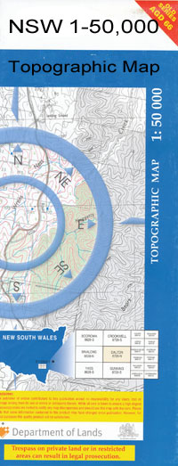
Weimby 1-50,000 NSW Topographic Map
$16.95 – $31.95
Description:
Weinbt 7528N 1-50,000 scale NSW Topographical map is used for Walking, 4WD, Fishing, Camping, Motorcycle, both On and Off Road, Gold Prospecting and for those simply going for a family weekend drive.
Topographical maps show not only Contours of the Terrain but also Walking Tracks, Sealed and Unsealed Roads, Rivers, Creeks, Lakes, Historical Point of Interest, Old Mine Sites and National and State Park areas.
 We can Now LAMINATE and fold your map for $12.00. Just click on the image and add to the Trolley
NOW AVAILABLE PRINT ON DEMAND
Locations within this Map
Abbots Tank Balranald Weir Boggy Creek Buchanans Bend Can Can Lagoon Chalmers Lagoon Deadman Plain Jack Creek Jack O’Briens Creek Jeremiah Lump Langs Bend Lower Tala Bend Manie Creek Manie or Tittara Creek Manie State Forest Middle Creek O’Briens Creek Paiko or Peacock Creek Peacock Creek Pelican Lagoon Snake Creek Tala Rocks The Five Fingers Topra Plain Tualka Creek Twalka Creek Upper Tala Bend Victoria Reef Waldaira Creek Waldaira Lake Waldaira Tank Weimby Bulumpla Lagoon Dry Lake Peacock Creek Flora Reserve Kingi Lawrence Loocalle Mevna Waldaira Manie Maniette Merowa Windomal Tittara Boundary Bend Boundary Bend Primary School Hopcroft Billabong Tata Creek Yungera Carinya Sunnyside Abbotts Tank Mainie Canally Redgate Murrumbidgee River
| Name: | Weimby |
| Publisher: | New South Wales Government |
| Scale: | 1:50000 |
| Latitude Range: | 34° 30.0′ S – 34° 45.0′ S |
| Longitude Range: | 143° 0.0′ E – 143° 30.0′ E |
| Datum: | GDA 94 |

