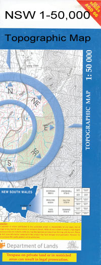
Cunninyeuk 1-50,000 NSW Topographic Map
$16.95 – $31.95
Description:
Cunninyeuk 7627N 1-50,000 scale NSW Topographical map is used for Walking, 4WD, Fishing, Camping, Motorcycle, both On and Off Road, Gold Prospecting and for those simply going for a family weekend drive.
Topographical maps show not only Contours of the Terrain but also Walking Tracks, Sealed and Unsealed Roads, Rivers, Creeks, Lakes, Historical Point of Interest, Old Mine Sites and National and State Park areas.
 We can Now LAMINATE and fold your map for $12.00. Just click on the image and add to the Trolley
NOW AVAILABLE PRINT ON DEMAND
Locations within this Map
Aggies Swamp Berambong Berambong Creek Berambong State Forest Beresfords Island Beveridge Island Box Creek Box Water Course Box Watercourse Buccaneit Creek Coobool Coobool Creek Coobool Island Coonamit Coonamit Creek Cunninyeuk Cunninyeuk Creek Dead Horse Creek Dead Mans Creek Deep Creek Lake Geer Genoe Genoe Creek Lake Genoe Gum Creek Holmes Creek Jaffrey Creek Coobool Railway Station Dairy Creek Deep Channel 5 Mile Creek Lake Agnes Creek Lake Creek Mackenzies Creek Mackenzies Ford Mallan Mallan Creek Mallan Mallan Creek Mallan Public School Moolpa Moolpa Station Mortons Lake Mortons Swamp Lake Nanctree Lake Nangtree Niemur Nyang Creek Pelham Creek Pisen Creek Pissen Creek Poon Boon Lake Poon Boon Puah Puah or Speewa Creek Rung Box Watercourse Salt Lake Small Creek Snake Lagoon Southern Branch Canal Southern Main Canal Speewa Speewa Creek Speewa Island Spiewah Island Stony Crossing Stoney Crossing Stony Crossing Railway Station Ten Mile Creek Towweruk Tueloga Tueloga Railway Station Wetuppa Worobyan Lake Woromur Wyam Creek Wyam Crossing Wyan Crossing Yadchow Yarrein Branch of Yarrein Creek Dilpurra Dilpurra Station Village of Dilpurra Tooranie Murray River Anna Branch Speewa Public Hall Bibinette Berambong Station Yarrein Creek Yarrien Creek Merran Creek Niemur River Murrain Yarrein Creek Gunningyeuk Ooronong Creek
| Publisher: | New South Wales Government |
| Scale: | 1:50000 |
| Latitude Range: | 35° 0.0′ S – 35° 15.0′ S |
| Longitude Range: | 143° 30.0′ E – 144° 0.0′ E |
| Datum: | GDA 94 |

