Colignan 1-50,000 NSW Topographic Map
Price range: $16.95 through $31.95
Description:
Colignan 7328n 1-50,000 scale NSW Topographical map is used for Walking, 4WD, Fishing, Camping, Motorcycle, both On and Off Road, Gold Prospecting and for those simply going for a family weekend drive.
Topographical maps show not only Contours of the Terrain but also Walking Tracks, Sealed and Unsealed Roads, Rivers, Creeks, Lakes, Historical Point of Interest, Old Mine Sites and National and State Park areas.
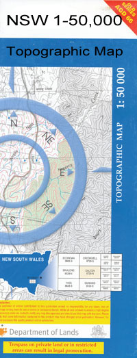
 We can Now LAMINATE and fold your map for $12.00. Just click on the image and add to the Trolley
Locations within this Map
Adelaide Bend Bretts Bend Britts Bend Graces Bend Horseshoe Billabong Grace Bend Ki State Forest Mulberry Bend Nangiloc Bend St Helena Island St Helena Tapalin Tapaulin Tapaulin Bend Tappaulin Bend Tarpaulin The Mulberries The Mulberrys Dochertys Bend Dockatys Bend Kemendok Nature Reserve Matalong Britt Bend Bald Hill Bitterang Crossing Brightons Tank Brockie Camel Pad Walking Track Cantala Cantala Creek Carool Chalka Creek Colignan Congereel Tank Hattah Lakes National Park Hattah-Kulkyne National Park Ironclad Tank Konardin Kulkyne Kulkyne Forest Lake Bitterang Lake Cantala Lake Konardin Lake Lockie Lake Mournpall Lake Roonki Lake Woterap Lake Yelwell Lake Yerang Messengers Crossing Mournpall Island Murray Kulkyne National Park Murray River Park Nangiloc Nowingi Nurnurnemal Raak Red Ochre Lake Retail Bend Retail Island Rim Crossing Spectacle Lake Tarpaulin Bend Yearang Crossing Yelwell Yerang Crossing Mount Despersion
| Publisher: | New South Wales Government |
| Scale: | 1:50000 |
| Latitude Range: | 34° 30.0′ S – 34° 45.0′ S |
| Longitude Range: | 142° 0.0′ E – 142° 30.0′ E |
| Datum: | GDA 94 |