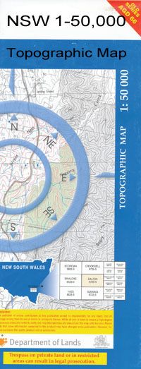
Balranald 1-50,000 NSW Topographic Map
$16.95 – $31.95
Description:
Balranald 7628n 1-50,000 scale NSW Topographical map is usedfor Walking, 4WD, Fishing, Camping, Motorcycle, both On and Off Road, GoldProspecting and for those simply going for a family weekend drive.
Topographicalmaps show not only Contours of the Terrain but also Walking Tracks, Sealed andUnsealed Roads, Rivers, Creeks, Lakes, Historical Point of Interest, Old MineSites and National and State Park areas.
Locations within this Map
Balranald Avalon Lake Town of Balranald Balranald Aerodrome Balranald Cemetery Balranald Central School Balranald Public School Balranald Railway Station Belar Benongal Bottle Gate Creek Breer Creek Chadwick Chaston Cutting Condoulpe Creek Devils Creek Fisher Greenham Park Impimi Gum Creek Kia Kia Lake Kia Ora Kia Swamp Kieeta Kieeta Creek Kieeta Game Reserve Lincoln Loorica Lake Mamanga Morris Muttiedaddie Reserve Nap Nap Tank Nimming Pollen Creek Nolans Chance Lake Parker Pee Vee Creek Pollen Creek Tala Tala Creek Lake Tala Talpee Creek Teatree Lake Telford The Bottleneck The Willows Torry Plains Game Reserve Uara Creek Williamson Willow Vale Wombah Woolshed Creek Yanga Yanga Creek Yanga Lake Yangalake Railway Station Yanga Nature Reserve Yanga State Forest Burdakiany or Tala Creek Balranald Reservoir The Gum Creek Balranald Aboriginal Cemetery Bourpie Escape Chaston Regulator Glen Avon Escape Kieeta Escape Tala Escape Abercrombie Channel Loorica Pybolee Wilpee Paika Yarrington Waugorah Kieeta State Forest Wynburn Springbank Warwaegae Auleg Ti Tree Lake Yanga Tank

