Kyalite 1-50,000 NSW Topographic Map
Price range: $16.95 through $31.95
Description:
Kyalite 7528s 1-50,000 scale NSW Topographical map is used for Walking, 4WD, Fishing, Camping, Motorcycle, both On and Off Road, Gold Prospecting and for those simply going for a family weekend drive.
Topographical maps show not only Contours of the Terrain but also Walking Tracks, Sealed and Unsealed Roads, Rivers, Creeks, Lakes, Historical Point of Interest, Old Mine Sites and National and State Park areas.
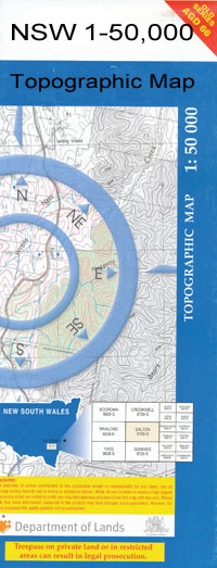
 We can Now LAMINATE and fold your map for $12.00. Just click on the image and add to the Trolley
NOW AVAILABLE PRINT ON DEMAND
Locations within this Map
Bindee Wilga Park Malado Farm Sinapius Murray Bank Bests Sandbar The Big Bend Bitch and Pups Bingera Creek The Bucca Wakool Bucky Creek Bucky Island Canally Island Four Corners Goodnight Gundagai Bend Horseshoe Lagoon Howleys Bend Kyalite Kyalite Public School Lockharts Sandbar Mallee Milleu Mortons Lagoon Mortons Sanctuary Narrung Cutting Talbetts Crossing Tarara Crossing Tararie Wakool Wakool Crossing Wakool Junction Lake Wannah Wee Wee Creek Windomal Windomal Landing Bungaree Creek Byerley Bend Murray Plain Pin Cushion Island Gendarme Bend Graveyard Bend Chadwick Bridge Creek Burra Burra Channel Burra Creek Byerleys Bend Coonimur Hastings Tank Channel Heywoods Lake Kooloonong Koorkab Macredie Island Mirkoo Narrung Narrung Channel Natya Natya Telephone Exchange Piambie Pines Possum Flat Channel Tyntynder Main Channel Wakool Creek Yungera Junction Park Heywood Lake Allanvale Haysdale Wakool River Thistlebank Kyalite River Edward River
| Publisher: | New South Wales Government |
| Scale: | 1:50000 |
| Latitude Range: | 34° 45.0′ S – 35° 0.0′ S |
| Longitude Range: | 143° 0.0′ E – 143° 30.0′ E |
| Datum: | GDA 94 |