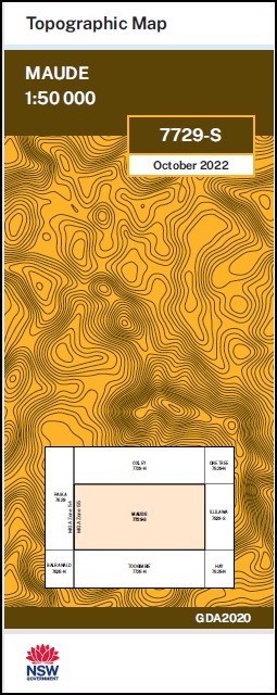
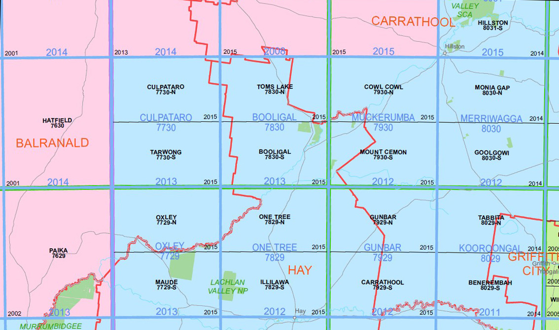
Maude 1-50,000 NSW Topographic Map
$16.95 – $28.95
Description:
Maude 7729s 1-50,000 scale NSW Topographical map is used for Walking, 4WD, Fishing, Camping, Motorcycle, both On and Off Road, Gold Prospecting and for those simply going for a family weekend drive.
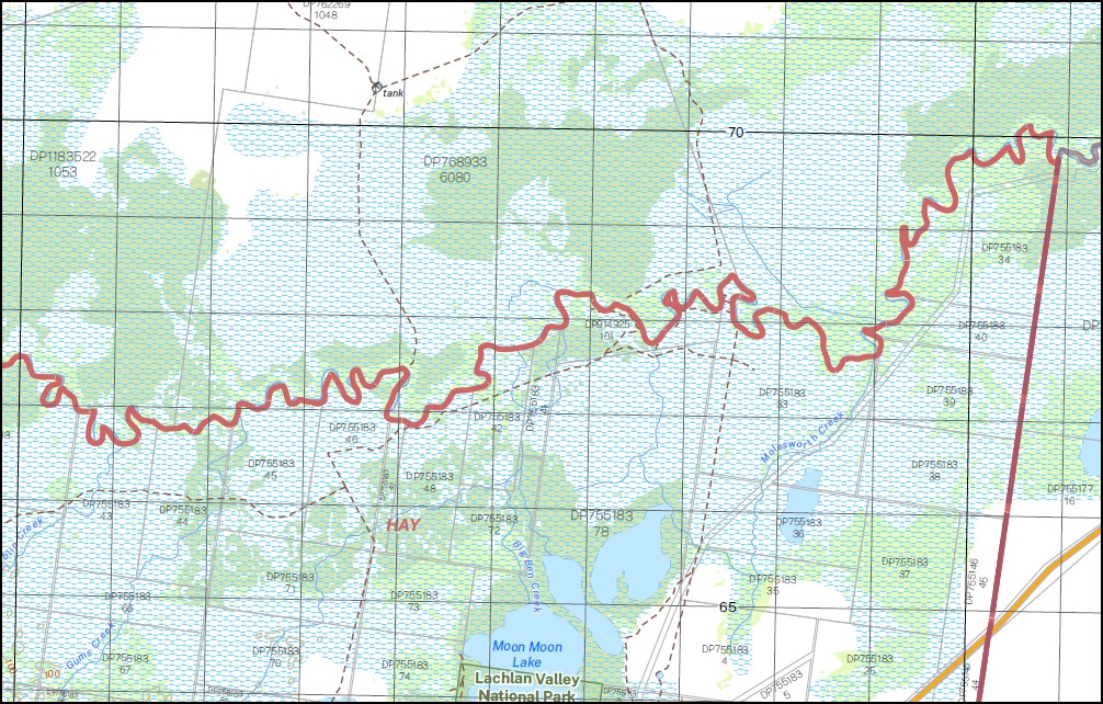
Topographical maps show not only Contours of the Terrain but also Walking Tracks, Sealed and Unsealed Roads, Rivers, Creeks, Lakes, Historical Point of Interest, Old Mine Sites mbtg and National and State Park areas.
NOW AVAILABLE PRINT ON DEMAND
Part of the Lachlan River
Locations within this Map
Geramy Boyong Mallawa Kempsey Toopuntul Kurragundi Willowgrove Homestead Gelam Nap Nap Par-Avion Woolamie Yerrinbool Budgee Budgee Creek Canegrass Swamp Clear Lake Cowans Creek Darcoola Darcoola Creek Derinum Five Mile Creek Four Mile Clump Great Cumbungi Swamp Ibbotson Sandhills Ita Lake Jellalabad Calewatta River Canoon Tank Great Cambung Swamp Harts Lake Karaula River Killarney Swamp Lerap Swamp Maude Village of Maude Maude Cemetery Maude Public School Maude Weir Meginleys Lake Meginleys Swamp Middle Paddock Saltbush Swamp Nimmie Creek Nimming Nimming Creek Palmer Pimpampa Pimpara Creek Pimpara Tank Pungmallee Reedy Lake Saltbush Swamp The Sandhills Shallow Gum Creek The Read Beds Toopuntil and Toopuntal Toopuntul Swamp Tupencal Swamp Tupentel Swamp Waymea Yang Yang Maude State Forest Great Cumbung Swamp The Reed Beds Kalyarr National Park Pimpare Creek Wilowgrove
| Publisher: | New South Wales Government |
| Scale: | 1:50000 |
| Latitude Range: | 34° 15.0′ S – 34° 30.0′ S |
| Longitude Range: | 144° 0.0′ E – 144° 30.0′ E |
| Datum: | GDA 2020 |


