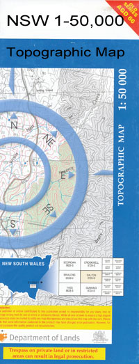
Illilawa 1-50,000 NSW Topographic Map
$16.95 – $31.95
Description:
Illilawa 7829s 1-50,000 scale NSW Topographical map is used for Walking, 4WD, Fishing, Camping, Motorcycle, both On and Off Road, Gold Prospecting and for those simply going for a family weekend drive.
Topographical maps show not only Contours of the Terrain but also Walking Tracks, Sealed and Unsealed Roads, Rivers, Creeks, Lakes, Historical Point of Interest, Old Mine Sites and National and State Park areas.
 We can Now LAMINATE and fold your map for $12.00. Just click on the image and add to the Trolley
NOW AVAILABLE PRINT ON DEMAND
Locations within this Map
Craigielea Embah Nullagong Lavistock Walwa Kempsey Yeadon Lara Benara Darcoola Yarrawa Bagomba Tooronga Croidon Noongaburra Wooloondool Kangaroo Barman State Forest Barmen State Forest Benduck North Boozer Creek Brick Tank Well Cluny Cooladgery Lagoon Coonoon East Waradgery Eleven Mile Creek Fifteen Mile Creek Gordons Point Hay Hay Post Office Hay Public School Hay Railway Station Hay War Memorial High School Horse and Jockey Tank Johnstons Tank Hay South Illilliwa Railways Station Lara Creek Lorraine McLeans Waterhole Marked Tree Point Sand Creek Sand Gully Schicers Sand Hill Seventeen Mile Tank Seventeen Mile Well Shicers Sandhill Stewarts Sandhill Sturts Sand Hill Tongul West Waradgery Wooloondool Well Shicers Sand Hill Illilawa Ilililiwa Illilliwa Eli Elwah Illiliwa
| Publisher: | New South Wales Government |
| Scale: | 1:50000 |
| Latitude Range: | 34° 15.0′ S – 34° 30.0′ S |
| Longitude Range: | 144° 30.0′ E – 145° 0.0′ E |
| Datum: | GDA 94 |

