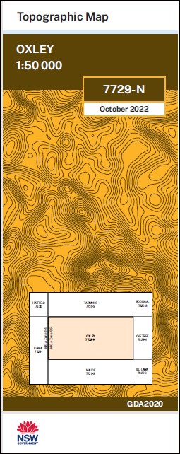
Oxley 1-50,000 NSW Topographic Map
Price range: $16.95 through $28.95
Description:
Oxley 7729N 1-50,000 scale NSW Topographical map is used for Walking, 4WD, Fishing, Camping, Motorcycle, both On and Off Road, Gold Prospecting and for those simply going for a family weekend drive.
Topographical maps show not only Contours of the Terrain but also Walking Tracks, Sealed and Unsealed Roads, Rivers, Creeks, Lakes, Historical Point of Interest, Old Mine Sites and National and State Park areas.
NOW AVAILABLE PRINT ON DEMAND
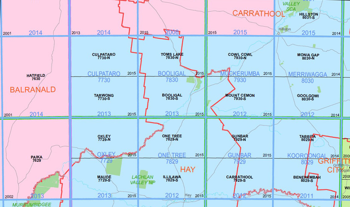
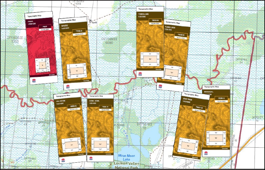
Locations within this Map
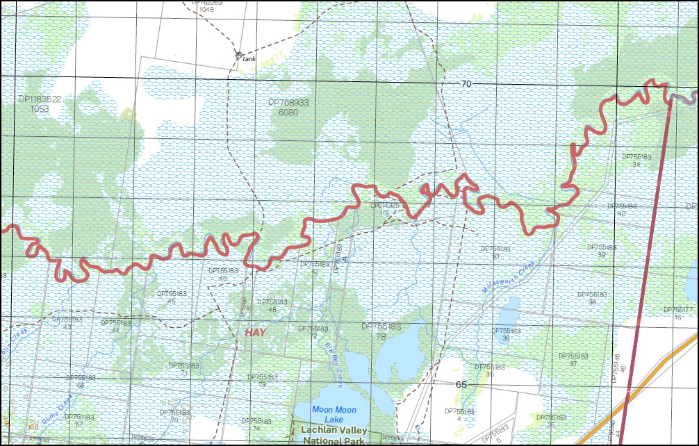
Part of the Lachlan River
Nandum Keiross Glen Alvie Merienium Duckshot Aubrey Dale Noonamah Oxley Oxley Downs Tupra The Brass Butt Willow Dale Corrong Norwood Thelangerin Geramy Baconian Swamp Buckonyong Creek Lake Comayjong Cumbungy Creek Corrong Station Lignam Lake Lignum Lake Mcfarlands State Forest Merrimajeel Creek Merrinageal Creek Moologa Lake Muloga Lake Murrumbidgell or Merrimajeel Creek Nandum Tank Town of Oxley Oxley Cemetery Oxley State Forest Ryans Lake Thellangering West Yimbaring Dowling The Dry Lake Lake Bungarry Tooralboung Flora Reserve Boocathan Toorong Sahara East Brassbutt Buckonyong Bungarry Matamong Mulloga Pimpara Toopruck Tooralboung Lagan Wyunga
| Publisher: | New South Wales Government |
| Scale: | 1:50000 |
| Latitude Range: | 34° 0.0′ S – 34° 15.0′ S |
| Longitude Range: | 144° 0.0′ E – 144° 30.0′ E |
| Datum: | GDA 2020 |
You may also like…
-
Lachlan River 1-50,000 and 1-100,000 Topographic Map Set
Price range: $130.00 through $220.00Select options This product has multiple variants. The options may be chosen on the product page -
Hillston 1-50,000 NSW Topographic Map
Price range: $16.95 through $28.95Select options This product has multiple variants. The options may be chosen on the product page -
One Tree 1-50,000 NSW Topographic Map
Price range: $16.95 through $28.95Select options This product has multiple variants. The options may be chosen on the product page -
Maude 1-50,000 NSW Topographic Map 7729-S
Price range: $16.95 through $28.95Select options This product has multiple variants. The options may be chosen on the product page