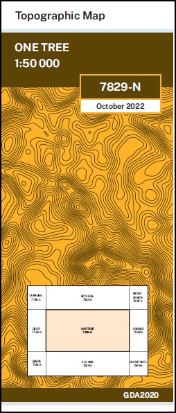
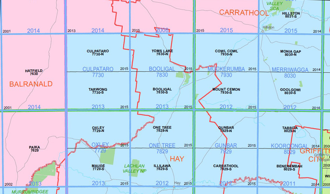
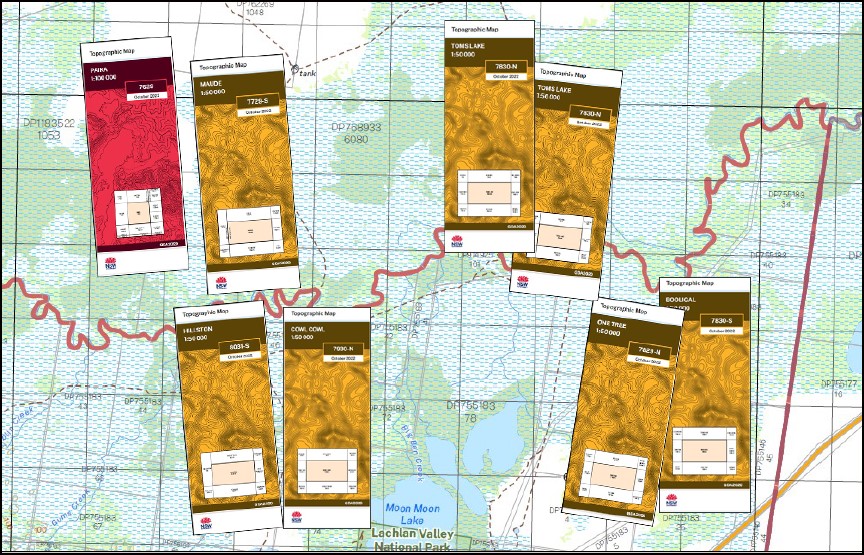
One Tree 1-50,000 NSW Topographic Map
$16.95 – $28.95
Description:
One Tree 7829N 1-50,000 scale NSW Topographical map is used for Walking, 4WD, Fishing, Camping, Motorcycle, both On and Off Road, Gold Prospecting and for those simply going for a family weekend drive.
Topographical maps show not only Contours of the Terrain but also Walking Tracks, Sealed and Unsealed Roads, Rivers, Creeks, Lakes, Historical Point of Interest, Old Mine Sites mbtg and National and State Park areas.
NOW AVAILABLE PRINT ON DEMAND
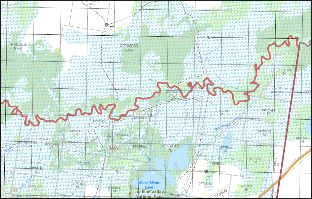
Part of the Lachlan River
Locations within this Map
Quandong Yarrabee Ulonga Nyntee Wyoming Old Erin Mingah Erin Sidonia Noonamah Ville Tarana Craigielea Anders Creek The Cubas Goonawarra Nature Reserve Hiawatha Jumbuck Lara Leura Marool Swamp Merrool Creek Mirrool Creek One Tree Village of One Tree One Tree Plain One Tree Tank Patterson Peppermint Swamp Quandong Tank Rainbow Tank Simson Thellangering Ulonga Tank Lake Waljeers Wallaby Wallaby Tank Wooloombye Lake Bullogal Waljeers Bullogal Lake
| Publisher: | New South Wales Government |
| Scale: | 1:50000 |
| Latitude Range: | 34° 0.0′ S – 34° 15.0′ S |
| Longitude Range: | 144° 30.0′ E – 145° 0.0′ E |
| Datum: | GDA 2020 |


