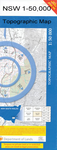
Euston 1-50,000 NSW Topographic Map
Price range: $16.95 through $31.95
Description:
Euston 7428n 1-50,000 scale NSW Topographical map is used for Walking, 4WD, Fishing, Camping, Motorcycle, both On and Off Road, Gold Prospecting and for those simply going for a family weekend drive.
Topographical maps show not only Contours of the Terrain but also Walking Tracks, Sealed and Unsealed Roads, Rivers, Creeks, Lakes, Historical Point of Interest, Old Mine Sites and National and State Park areas.
 We can Now LAMINATE and fold your map for $12.00. Just click on the image and add to the Trolley
NOW AVAILABLE PRINT ON DEMAND
Locations within this Map
Liparoo Euston Robinvale Lake Benanee Benanee Benanee Creek Boundary Rocks Carina Bend Caringay Creek Lake Caringay Cods Head Reef Euston Public School Euston State Forest Gells Island Invincible Bend Town of Euston Ki Bend Little Prill Little Prill Lake Lock 15 Mcgintys Reach Mystery Lake Noeyango ‘Caringay’ Lake Noeyango or Caringay Creek Noeyango Lake Nurtram Billabong Pound Bend Prill Lake Retail Bend Slab Hut Reach Sparks Reef Success Reef Taila Creek Washpen Creek Washpen or Webinble Creek Dry Lake Bertram Ki Meilman Nowong Narrow Bend Flora Reserve Euston Reservoir Taila Bannerton Bannerton Telephone Exchange Belsar Island Bonyarricall Creek Bumbang Bumbang Creek Bumbang Island Lake Carrul Lake Powell Margooya Lagoon Narcooyia Creek Nenandie Robinvale Channel Robinvale Consolidated School Robinvale Fire Station Robinvale Hospital Robinvale Irrigation District Section B Robinvale Irrigation District Section C Robinvale Irrigation District Section D Robinvale Irrigation District Section E Robinvale Magistrates Court Robinvale Mcwilliams Wines Robinvale Police Station Robinvale Post Office Robinvale Secondary College Robinvale South Robinvale Winery Toltol Wemen Yungera Creek Yungera Island Lake Noeyango Noeyanga Lake Noeyango Caringay Lake Ki Downs Tonga Lake Carpall
| Scale: | 1:50000 |
| Latitude Range: | 34° 30.0′ S – 34° 47.5′ S |
| Longitude Range: | 142° 30.0′ E – 143° 0.0′ E |
| Datum: | GDA 94 |