Tooleybuc 1-50,000 NSW Topographic Map
Price range: $16.95 through $31.95
Description:
Tooleybuc 7527S 1-50,000 scale NSW Topographical map is used for Walking, 4WD, Fishing, Camping, Motorcycle, both On and Off Road, Gold Prospecting and for those simply going for a family weekend drive.
Topographical maps show not only Contours of the Terrain but also Walking Tracks, Sealed and Unsealed Roads, Rivers, Creeks, Lakes, Historical Point of Interest, Old Mine Sites and National and State Park areas.
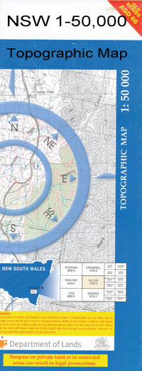
 We can Now LAMINATE and fold your map for $12.00. Just click on the image and add to the Trolley
NOW AVAILABLE PRINT ON DEMAND
Locations within this Map
Nyah Nyah West Tooleybuc Piangil Black Stump Bend Lake Coomaroop Gallows Bend Genoe Lake Goonimur Lake Jileroo Koraleigh Lake Poomah Lake Talpile Tooleybuc Cemetery Tooleybuc Central School Tooleybuc Town Of Lake Wollare Bungunyah Bungunyah Valley Public School Bymue Crayfish Creek Horseshoe Lagoon 90 Acre Sand Bar Beverford Primary School Beverford Winery Bullers Winery Chillingollah Channel Devils Elbow Dry Plain Gillicks State Forest Lloyds Vineyard Mallee Highway Start Miralie Murphys Island Nyah Bridge Nyah Fire Station Nyah Police Station Nyah Primary School Nyah State Forest Nyah Telephone Exchange Nyah Town Channel Nyah West Magistrates Court Nyah West Police Station Nyah West Primary School Nyrraby Piangil Fire Station Piangil Police Station Piangil Primary School Piangil Public Hall Piangil Telephone Exchange Piangil West Picks Point Prooinga Swan Hill Gliding Club Swan Hill Rural City Towan Towan Plain Faunal Reserve Turoar Tyntynder North Tyntynder West Vinifera State Forest Woorien North Primary School Woorinen Primary School Yarraby Channel Burra Creek Piangil North Wood Wood Poon Boon Ninety Acre Sand Bar Yarraby Vinefera Puah Creek Rynaby Tyntynder Chillingollah Woorinen North
| Name: | Tooleybuc |
| Publisher: | New South Wales Government |
| Scale: | 1:50000 |
| Latitude Range: | 35° 0.0′ S – 35° 15.0′ S |
| Longitude Range: | 143° 0.0′ E – 143° 30.0′ E |
| Datum: | GDA 94 |