Moama 1-50,000 NSW Topographic Map
Price range: $16.95 through $31.95
Description:
Moama 7825n 1-50,000 scale NSW Topographical map is used for Walking, 4WD, Fishing, Camping, Motorcycle, both On and Off Road, Gold Prospecting and for those simply going for a family weekend drive.
Topographical maps show not only Contours of the Terrain but also Walking Tracks, Sealed and Unsealed Roads, Rivers, Creeks, Lakes, Historical Point of Interest, Old Mine Sites and National and State Park areas.
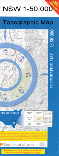
 We can Now LAMINATE and fold your map for $12.00. Just click on the image and add to the Trolley
NOW AVAILABLE PRINT ON DEMAND
Locations within this Map
Echuca Moama Backwater Creek Bama Bama State Forest Barnes Benarca Dam Benarca State Forest Caloola Cape Horn Cumeroogunja Cumeroogunja Cemetery Deep Creek Deep Lagoon Flemings Bend Gilmours Sandbar Gumbuya Horseshoe Lagoon State Forest Horseshoe Lagoon Cumeroogunga Horse Shoe Plain Dam Moama Reservoir Moama Post Office Moama Public School Moama Railway Station Town of Moama Moama Wharf Tataila Tattaila Village of Barnes Weaning Point Cumeroogunga Mission Station Arnold Bend Baillieu Bend Bamawm Bamawm Extension Bamawm Extension Recreation Reserve Bamawm Main Drain Barep Barmah Barmah Bridge Barmah Creek Barmah Fire Station Barmah Island Barmah Primary School Baroona Bend Barra Bend Bay of Biscay Bridge Beattie Depression Floodway Betha Bend Borpa Bend Bower Bend Braund Bend Burnanga Bend Casey Bend Cemetery Bridge Chambers Bend Corroboree Bend Crossmans Bend Dead Horse Point Deakin North West Fire Station Dolma Bend Echuca Aerodrome Echuca Central Primary School Echuca Technical School Echuca High School Echuca East Primary School Echuca Fire Station Echuca Gun Club Echuca Hospital Echuca Magistrates Court Echuca North Echuca Police Station Echuca Primary School Echuca South Echuca South Primary School Echuca Village Echuca Village Primary School Echuca West Primary School Emu Bend Farley Bend Fullam Bend Girriwa Bend Hair Pin Bend Hartley Bend Kanyapella Kanyapella Basin Kotta Kotta Fire Station Kotta Public Hall Koyuga Lockington Main Drain Madowla Lagoon McEvoys Millewa Muller Bridge Murphys Swamp Upper Indi River Mystery Lake Pianta Bend Plumrose Powers Bend Rich River Fish Farm Roslynmead Rotary Park Stewarts Bridge The Village Reserve Thunderbird Lake Tisdall Winery Tolhurst Bend Tongala Tongala Consolidated School Tongala Fire Station Tongala No. 1 Outfall Drain Torrumbarry Torrumbarry Fire Station Torrumbarry Hall Torrumbarry North Torrumbarry Recreation Reserve Torrumbarry Telephone Exchange Victoria Park Wallala Creek Warrigal Creek Warrigal Lagoon Wharparilla Wharparilla Flora Reserve Wharparilla West Fire Station Wills Bend Wyuna Main Drain Yambuna Creek Yambuna Fire Station Yambuna Outfall Yanga Bend Barmah Township Wharparilla North North Wharparilla Lower Moira Goulburn River Roslynmead Station Roslymead Campaspe River Rochester Shire Strathallan Tongala East
| Publisher: | New South Wales Government |
| Scale: | 1:50000 |
| Latitude Range: | 36° 00.0′ S – 36° 15.0′ S |
| Longitude Range: | 144° 30.0′ E – 145° 0 |