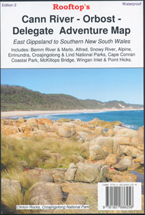
Cann River Orbost Delegate Map Rooftop Edition 2
$15.95
Description:
Cann River Orbost Delegate Adventure Map Rooftop Waterproof 2022
Coverage extends from Orbost and McKillops Bridge to Cann River.
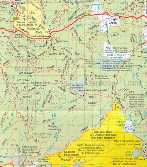
Front map at 1-100,000 scale covers Cann River, Orbost, Neweralla, Marlo, Cape Conran, Bemm River, Tamboon South Furnell, the beginning of Croajingalong National Park, Brodribb River, Belbird Creek, Cabbage Tree Creek, Manorina, Lind National Park, McKenzie River Rainforest Walk, Bemm State Forest, Murrungowar State Forest, mbtg, Orbost State Forest, Tonghi Creek, Club Terrace, Ellery State Forest, Errindundra National Park, Combienar State Forest, Buldah, Bonang, Goongerah, Yalmy State Forest, Deddick, McKillops Bridge, Bendoc, Ambyne Settlement, Delegate, mbtg Tubbut, Haydens Bog, Roughies Bluff, Dellicknora, Cababandra.
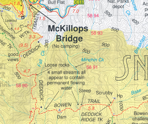
On the reverse there is a 1-50,000 scale topographic map covering McKillops Bridge, Deddick, McKillops Bridge, Bendoc, Ambyne Settlement, Delegate, Tubbut, Haydens Bog, Dellicknora, Cababandra, the meeting of the Suggan Buggan and Snowy Rivers
ISBN 9781921886256


