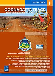
Oodnadatta Track Design Interaction
Description:
Oodnadatta Track Design Interaction
The Oodnadatta Track is a heritage corridor – the pioneering North/South road followed by aborigines, explorers, pastoralists, Afghan cameliers, Overland Railway and Telegraph lines. It embodies the history of travel throughout outback Australia and offers a unique experience through one of Australia’s most diverse and geographically interesting landscapes. The rich colour and harshness of terrain, typified by the remoteness of the Australian Outback, encourages the spirited adventurer to discover the real beauty of this region. The track closely follows the paths taken by Stuart and Giles exploring inland Australia during the 1800’s.
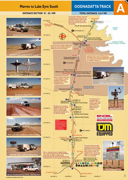
The Sectioned Maps will help you find everything of interest along the Track and point out potential road cautions in advance, supported by visual references, for the benefit of your safety.
The Track is sectioned into 8 parts (Section A-H). All Regional Roads and Public Access Routes. Full colour throughout. 28 pages including cover. 14 comprehensive map pages. All Tracks fully mapped with Garmin GPS 76CS. Datum WGS 84. Photographic references to associate with specific locations. Distances in kilometres. Elevations in metres. Colour coded track information indicating dips, crests, creek crossings, floodways, sharp bends, grids, gates, bogs, homestead tracks, historic sites. Photographic views. Geographic locations, towns and services. Size 180mm x 250mm spiral bound.
ISBN 9780992469436
You may also like…
-
Oodnadatta 1-250,000 Topographic Map
Price range: $15.95 through $30.95Select options This product has multiple variants. The options may be chosen on the product page -
Oodnadatta to Alice Springs Design Interaction
Select options This product has multiple variants. The options may be chosen on the product page