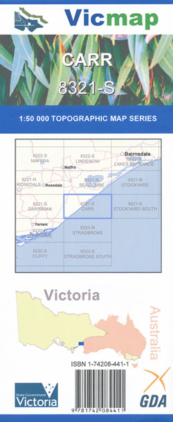
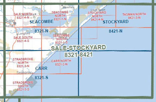
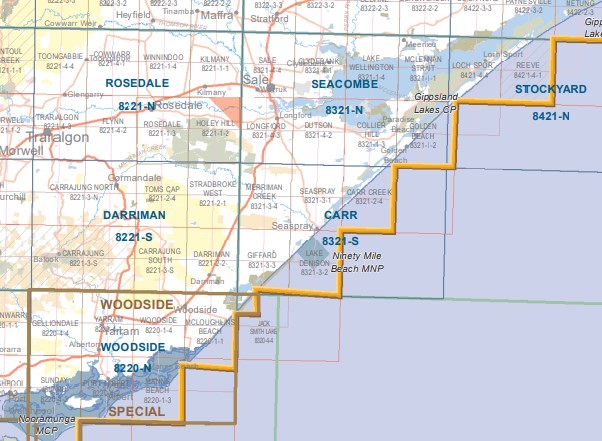
Carr 1-50,000 Vicmap
Price range: $12.00 through $24.00
Description:
Carr 1-50,000 scale Vicmap Topographical map 8321S is used for Walking, 4WD, Fishing, Camping, Motorcycle, both On and Off Road, Gold Prospecting and for those simply going for a family weekend drive.
Topographical maps show not only Contours of the Terrain but Walking Tracks, Sealed and Unsealed Roads, Rivers, Creeks, Lakes, Historical Points of Interest, Old Mine Sites mbtg and National and State Park areas.
Main Features of this map includes:
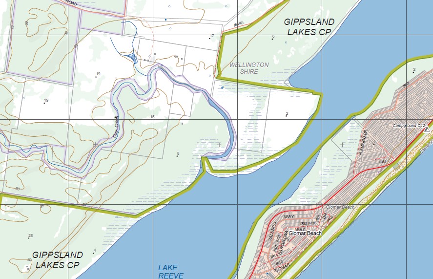
Seaspray, Lake Reeve, Holey Plains State Park, Jack Smith Lake,, GIPPSLAND LAKES CP, mbtg, Lake Reeve, Campground C14, Campground C15, Campground C16, Campground C17, Campground C12, Flamingo Beach, Campground C09, Campground C10, Campground C11, Glomar Beach,
Stradbroke, MCLOUGHLINS BEACH SEASPRAY COAST RESERVE, HOLEY, PLAINS State Park, Mullungdung State Forest, STRADBROKE FFR, GIFFARD (RIFLE RANGE) FR, GLENEAGLES PARK STATION (AIRFIELD), mbtg, Noonans Bridge, Ballas Plantation, GIPPSLAND LAKES CP, Lake Reeves, mbtg, The Honeysuckles, Campgrounds C16, C17, C18 and C19, WARRIGAL CREEK SSR, JACK SMITH LAKE WR, MCLOUGHLINS BEACH – SEASPRAY COAST RESERVE, HODDINOTT HILL, Mcgauran Beach, Giffard, Lake Denison, Seaspray Caravan Park
ISBN 9781742084411
You may also like…
-
Woodside Special 1-50,000 Topographical Vicmap
Price range: $14.00 through $26.00Select options This product has multiple variants. The options may be chosen on the product page -
STRADBROKE NORTH 1-25,000 Vicmap Topo Map 8321-3-N
Price range: $14.00 through $26.00Select options This product has multiple variants. The options may be chosen on the product page -
STRADBROKE SOUTH 1-25,000 Vicmap Topo Map 8321-3-S
Price range: $14.00 through $26.00Select options This product has multiple variants. The options may be chosen on the product page -
Seacombe 1-50,000 Vicmap
Price range: $12.00 through $24.00Select options This product has multiple variants. The options may be chosen on the product page -
Darriman 1-50,000 Vicmap
Price range: $12.00 through $24.00Select options This product has multiple variants. The options may be chosen on the product page -
Rosedale 1-50,000 Vicmap
Price range: $12.00 through $24.00Select options This product has multiple variants. The options may be chosen on the product page -
Gippsland Lakes Outdoor Map Spatial Vision
Price range: $16.95 through $28.95Select options This product has multiple variants. The options may be chosen on the product page -
CARR NORTH 1-25,000 Vicmap Topo Map 8321-2-N
Price range: $14.00 through $26.00Select options This product has multiple variants. The options may be chosen on the product page