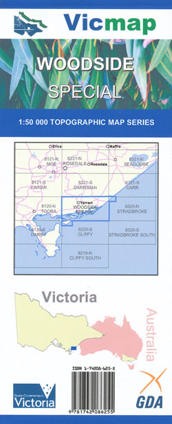
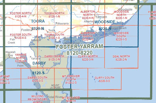
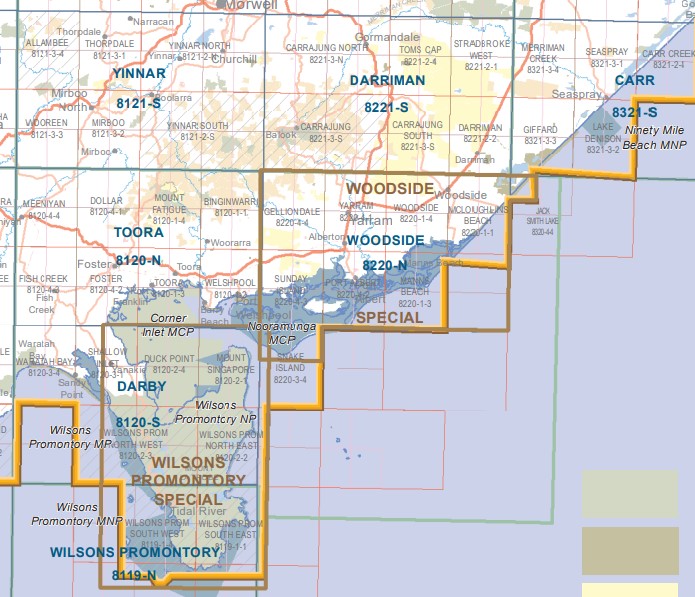
Woodside Special 1-50,000 Topographical Vicmap
$12.00 – $24.00
Description:
Woodside Special 1-50,000 scale Vicmap Topographical map is used for Walking, 4WD, Fishing, Camping, Motorcycle, both On and Off Road, Gold Prospecting and for those simply going for a family weekend drive.
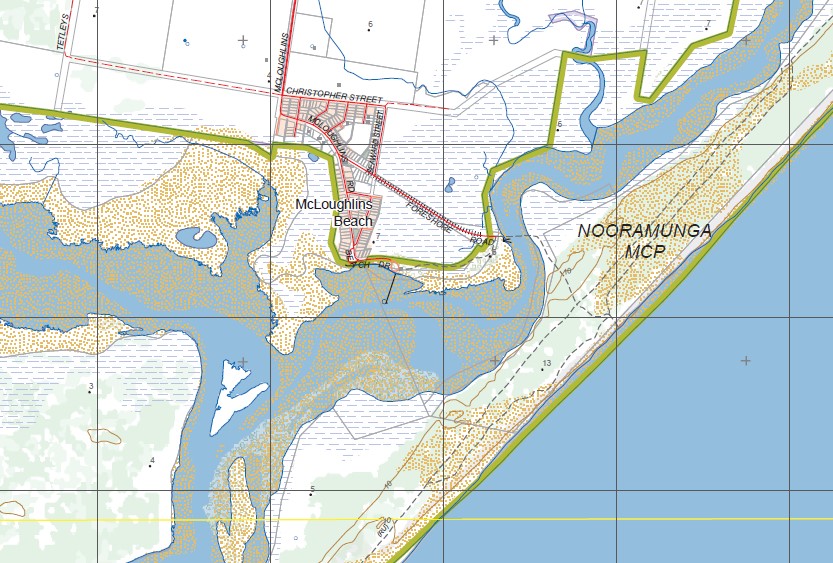
Topographical maps show not only Contours of the Terrain but Walking Tracks, Sealed and Unsealed Roads, Rivers, Creeks, Lakes, Historical Points of Interest, Old Mine Sites mbtg and National and State Park areas.
Main Features of this map includes:
McLOUGHLINS BEACH, Woodside, Won Wron State Forest, YARRAM AERODROME (AIRFIELD), Hunterston, St Margaret Island, Balloong, TARRA TARRA BR, NOORAMUNGA MCP, Woodside East, JACK SMITH LAKE WR, Woodside Beach, Woodside Beach Caravan Park, Reeves Beach Campground, Reeves Beach, McLOUGHLINS BEACH SEASPRAY COAST RESERVE, mbtg, Mann’s Beach, Nichols Point, Secret Spit, NOORAMUNGA MCP, St Margaret Island
Yarram, Gelliondale, Yarram, Alberton, Jack Plantation, Stacey’s Bridge, Billy Creek Bridge, Alberton West, Alberton West State Forest, Forest Lodge Farm, O’Callaghans Bridge, JACK RIVER SSR, Glen Rose, Strzelecki Mays Bush Block State Forest, Tooloonook, Buckleys Island Reserve, Devon North, TARRA RIVER SSR, Won Wron State Forest, Greenmount, Woranga, mbtg, Port Albert, Sunday Island, Middle Ground Channel, part of Snake Island and Little Snake Island, Swashway Jetty Camping Area, NOORAMUNGA MCP, Dog Island, Smokehouse Point, Gelliondale State Forest, RANKINS HILL, Cobbler Spit, Drum Island, Albert River Reserve, Port Albert Seabank Caravan Park, Langsborough, Port Albert Racecourse And Recreation Reserve, Old Settlement Beach, Lipscombe Point, Clonmel Spit, Clonmel Island, Dog Island Point, Tarraville, Robertsons Beach, Secret Spit


