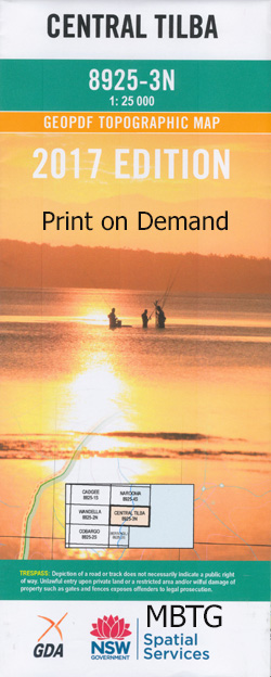
Central Tilba 1-25,000 NSW Topographic Map 8925-3-N
$16.95 – $28.95
Description:
Central Tilba 1-25,000 NSW Topographic Map 89253N Print on Demand is used for Walking, 4WD, Fishing, Camping, Motorcycle, both On and Off Road, Gold Prospecting and for those simply going for a family weekend drive.
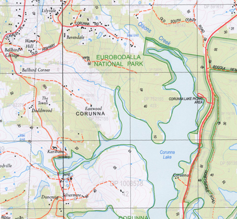
Topographical maps show not only Contours of the Terrain but also Walking Tracks, Sealed and Unsealed Roads, Rivers, Creeks, Lakes, Historical Point of Interest, Old Mine Sites and National and State Park areas.
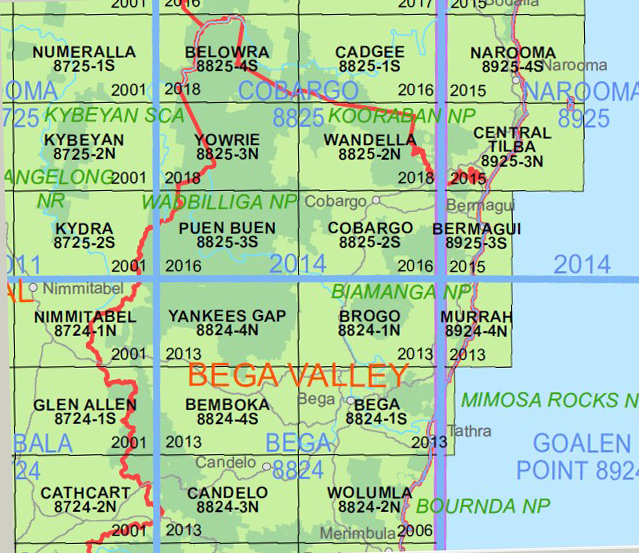
This map includes the following localities: Mystery Bay Wallaga Lake Heights Barunga Point Bobundara Swamp Bobundura Swamp Bobundara Creek Bogola Head Cemetery Point Central Tilba Central Tilba Public School Coppins Creek Corunna Corunna Lake Corunna Point Corunna State Forest Couria Bay Couria Creek Fullers Beach Goura Nature Reserve No. 47 Grassy Hill James Creek Corrunna Point Fresh Water Lake Karea Creek Killarney Bay King Merriman Island Aboriginal Place Little Dromedary Creek Dromedary Hill Loader Beach Matthews Creek Merriman Island Montague Island Mount Dromedary Flora Reserve Murunna Point Nargal Lake Narooma Noorooma Nugget Head Nuttal Lake Pitmans Creek Pooles Creek Punkally Creek Regatta Point Snake Island Tilba Tilba Lake Tilba Tilba Tilba Tilba Lake Victoria Creek Wallaga Lake Dignams Creek Yum Point Dromedary Dromedary Creek Little Dromedary Mountain Mount Dromedary Akelelee Akolele Boat Harbour Point Cape Dromedary Dignams Swamp Kings Corner Little Lake Merriwinga Creek Montague Island Lighthouse Pebbly Beach Shallow Lake Montague Island Nature Reserve Gulaga Flora Reserve Old Jetty Bay Jetty Bay Wallaga Beach Flathead Bay Long Bay Green Bay School Point Snapper Point Honeysuckle Island Hawkes Nest
ABC Cheese Factory, Passion Fish Candles, Wonderful Fudge
| Scale: | 1:25000 |
| Latitude Range: | 36 15.0 S – 36 22.5 S |
| Longitude Range: | 150 00.0 E – 150 15.0 E |
| Approx Print Size : | 0.56m X 1.11m |
| Projection: | Transverse Mercator
GDA 2020 Edition 2022 |


