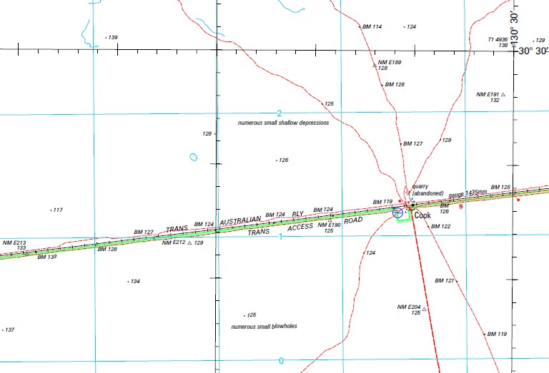
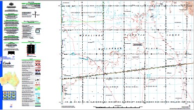
Cook 1-250,000 Topographic Map
$15.95 – $30.95
Description:
Print on Demand
Locations within this Map
Nullarbor Plain 639 Mile Siding Hughes 3 Palinar Rockhole Muckera Rockhole Hughes 2 Wirratinna Rockhole Denman 1 Batt Tanks The Bunda Plateau Hughes 1 Denman Railway Siding Hughes Railway Station Butt Tanks Cook Railway Station Cook Denman Hughes Nullabor Plain Nullarbor Plains
| Name: | Cook |
| Publisher: | Geoscience Australia (Australian Government) |
| Scale: | 1:250000 |
| Latitude Range: | 30° 0.0′ S – 31° 0.0′ S |
| Longitude Range: | 129° 0.0′ E – 130° 30.0′ E |
| Projection / Datum: | Universal Transverse Mercator, GDA94 |
| Approx Print Size: | 0.44m X 0.67m |
| Publication Date: | 1-Jun-02 |
Read More


