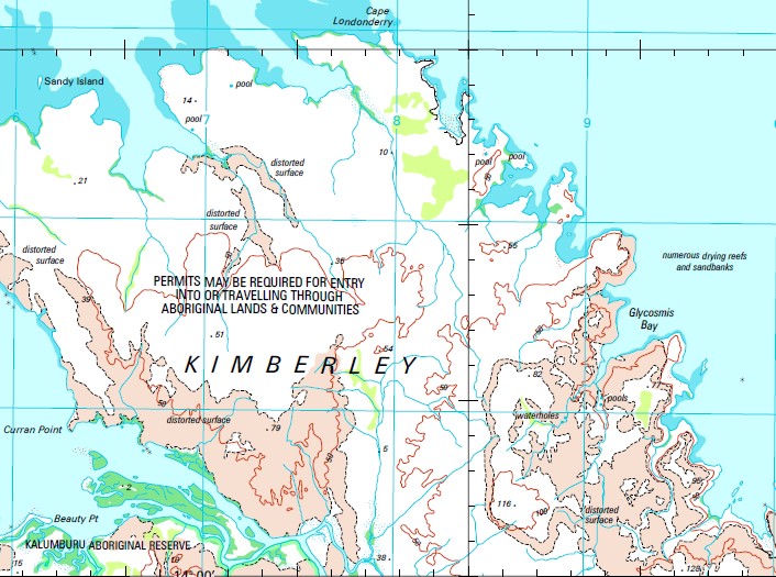
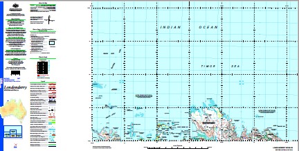
Londonderry 1-250,000 Topographic Map
Price range: $15.95 through $30.95
Description:
Print on Demand
Holothuria Banks Sahul Shelf Anjo Cove Anjo Hill Anjo Peninsula Anjo Point Beauty Point Binghi Rocks Bishop Rocks Bougainville Peninsula Bougainville Reef Branch Banks Cape Bougainville Cape Londonderry Cape Rulhieres Cape Talbot Carronade Island Circular Cove Curran Point Drysdale River East Governor Island East Holothuria Reef Eclipse Hill Eclipse Hill Island Eclipse Islands Elbow Point Eyre Reef Faraway Bay Fly Point Galley Point Geranium Harbour Geranium Islands Glycosmis Bay Governor Islands Hat Point Ila Point Jones Island Kim Island King George River Koojarra Shoal Koolama Bay Lesueur Island Long Island Low Point Mary Island Middle Rock Neewalara Point Nixson Point North Eclipse Island Noseda Creek Otway Bank Penguin Deeps Placid Creek Red Island Sandy Island Scorpion Island Scorpion Point Selsea Bill Sharp Point Sir Graham Moore Island Sir Graham Moore Islands Steamer Rock Stewart Islands Tait Bank Troughton Island Troughton Island Aerodrome Troughton Passage Vaia Point Warn Rock West Governor Island Womerah Bay Stewart Islets Guichen Reef Troughton Islet Jones Islet Koojarra Island Lesueur Islet Red Islet Eclipse Archipelago Governor Islets Parry Harbour
| Name: | Londonderry |
| Publisher: | Geoscience Australia (Australian Government) |
| Scale: | 1:250000 |
| Latitude Range: | 13° 0.0′ S – 14° 00.0′ S |
| Longitude Range: | 126° 0.0′ E – 127° 30.0′ E |
| Projection / Datum: | Universal Transverse Mercator, GDA94 |
| Approx Print Size: | 0.44m X 0.67m |
| Publication Date: | 1-Jun-03 |