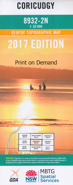
Coricudgy 1-25,000 NSW Topographic Map
$16.95 – $31.95
Description:
8932-2-N
Coricudgy 1-25,000 Scale NSW Topographical Map is used for Walking, 4WD, Fishing, Camping, Motorcycle, both On and Off Road, Gold Prospecting and for those simply going for a family weekend drive.
Topographical maps show not only Contours of the Terrain but also Walking Tracks, Sealed and Unsealed Roads, Rivers, Creeks, Lakes, Historical Point of Interest, Old Mine Sites and National and State Park areas.
This map includes the following localities: Mollethe Mycumbene Inglewood Kelgoola Mount Baker Bare Rock Bare Rock Bluff The Bluff Bin Ben Binben Mount Mount Coriaday Coricudgy Coricudgy Creek Mount Coricudgy Coricudgy State Forest Mount Davis Gavins Creek Hanging Rock Harris Hole Jones Hole Jones Hole Creek Kekeelbon Mountains Mount Kelgoola Gavins Swamp Mount Midderula Middle Hill Mill Creek Mill Swamp Mushroom Flat Mount Never Never Nullo Phillip Razorback Creek Ross castle Sugarloaf Creek Sugarloaf Swamp Mount Wilworril
| Scale: | 1:25000 |
| Latitude Range: | 32 45.0 S – 32 52.5 S |
| Longitude Range: | 150 15.0 E – 150 30.0 E |
| Approx Print Size: | 0.56m X 1.11m |
| Projection: | Transverse Mercator |


