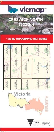
CRESWICK NORTH 1-25,000 Vicmap Topo Map 7623-2-N
Price range: $14.00 through $26.00
Description:
CRESWICK NORTH 1-25,000 Vicmap Topographic Map 76232N Now Print On Demand is used for Walking, 4WD, Fishing, Camping, Motorcycle, both On and Off Road, Gold Prospecting and for those simply going for a family weekend drive.
This is a new series of 1-25,000 scale maps, all of Victoria is now covered by these maps, including maps over the South Australian and NSW Borders.
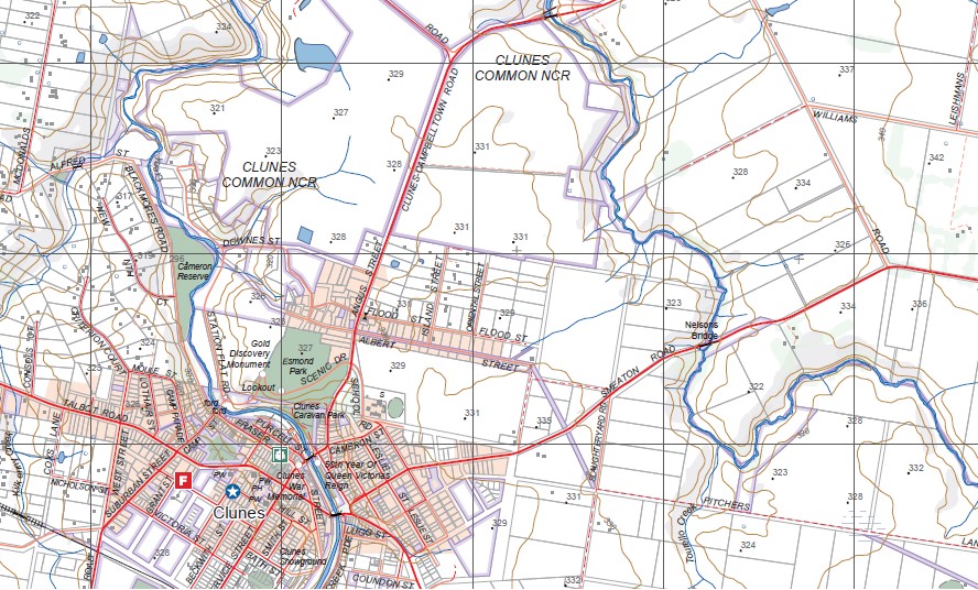
Topographical maps show not only Contours of the Terrain but Walking Tracks, Sealed and Unsealed Roads, Rivers, Creeks, Lakes, Historical Points of Interest, Old Mine Sites mbtg and National and State Park areas mbtg.
Main Features of this map includes:
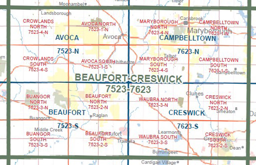
Now also covers the old series 1-25,000 maps Clunes and Smeaton
Clunes, Smeaton, Glendonald, Merin Merin & Middle Swamp WR, Clunes Common SF, Clunes Common NCR, McKinnon Hill, Leishman Hill, Williams Hill, Kelly Hill, Stewart Hill, part of The Great Dividing Range, Smeaton Hill, Mount Kooroocheang, Moorookyle, Ullina, Lawrence Creek, Two Mile Hill, Woodhouse, Kangaroo Hills, mbtg, Birch Hill, Cattle Station Hill, Allendale, Bullarook Creek, Kerrins Bridge, Hepburn Lagoon.
You may also like…
-
Creswick 1-50,000 Vicmap
Price range: $12.00 through $24.00Select options This product has multiple variants. The options may be chosen on the product page -
Creswick South 1-25,000 Vicmap Topo Map 7623-2-S
Price range: $14.00 through $26.00Select options This product has multiple variants. The options may be chosen on the product page