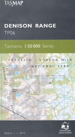
Denison Range 1-50,000 Topographic Map Tasmap
$13.95
2 in stock
Description:
Denison Range 1-50,000 Topographic Map Tasmap
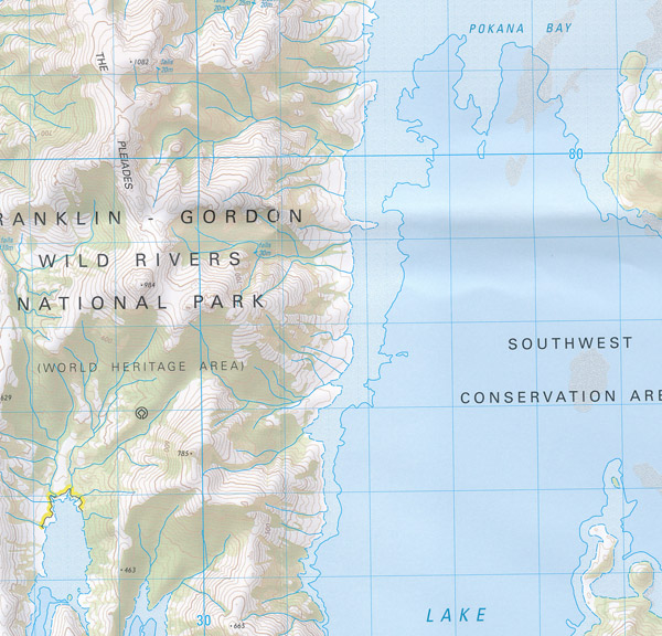
The map covers the remote, uninhabited area west of the Florentine Valley and the northern half of Lake Gordon. Most of the map area is Tasmanian Wilderness World Heritage Area where there are very few tracks. The Florentine Valley however is a labyrinth of production forest roads and for these reasons the map is an essential navigation aid.
1:50,000 scale topographic map. 2cm = 1km. Franklin – Gordon Wild Rivers. Lake Gordon north section.
Rasselas Track, Lake Rhona, western edge of Mount Field National Park, Gordon Range.
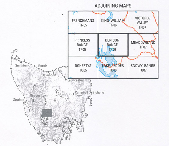
Product Code TP06
Edition |
1st edition. |
Publication date |
2016. |
Map Scale |
1:50,000 scale. |
ISBN |
9318923027945 |
Read More