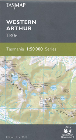
Western Arthur 1-50,000 Topographic Map Tasmap
Price range: $13.95 through $25.95
Description:
Western Arthur 1:50,000 Scale Topographic Map Tasmap TR06 Edition 2
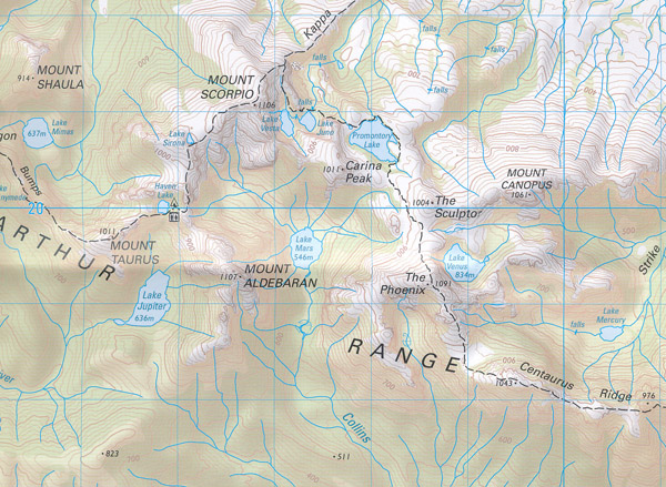
Topographic map at 1:50,000 scale. (2cm = 1km). South Lake Pedder, Western Arthur Range, Arthur Plains, The Razorback, Mount Hopetoun, Mount Braddon, Mount Legge, Western bend of Cracroft River, Huon River, Mount Orion, Mount Pegasus.
Land features, watercourses, roads, tracks, buildings, contours etc.
Published 2022
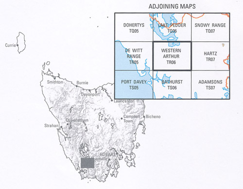
Replaces the old series map Crossing
ISBN 9318923028058
Read More
You may also like…
-
Port Davey 1-50,000 Topographic Map Tasmap
Price range: $13.95 through $25.95Select options This product has multiple variants. The options may be chosen on the product page -
Tasmania South West 1-250,000 Map Tasmap
Price range: $13.95 through $25.95Select options This product has multiple variants. The options may be chosen on the product page -
Lake Pedder 1-50,000 Topographic Map Tasmap
Price range: $13.95 through $25.95Select options This product has multiple variants. The options may be chosen on the product page