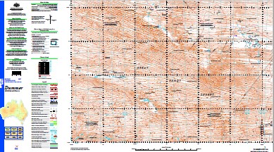
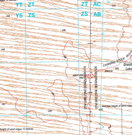
Dummer 1-250,000 Topographic Map
$15.95 – $30.95
Description:
Print on Demand
Part of the Canning Stock Route Wiluna to Halls Creek
Locations within this Map
Dummer Range Footprint Flat Gwenneth Lakes Mount Rosamund Newbery Peaks Prescott Lakes Stoneaxe Cave Tina Spring Canning Basin
| Name: | Dummer |
| Publisher: | Geoscience Australia (Australian Government) |
| Scale: | 1:250000 |
| Latitude Range: | 20° 0.0′ S – 21° 0.0′ S |
| Longitude Range: | 124° 30.0′ E – 126° 0.0′ E |
| Projection / Datum: | Universal Transverse Mercator, GDA94 |
| Approx Print Size: | 0.44m X 0.67m |
| Publication Date: | 1-Jun-87 |
pasting
Read More


