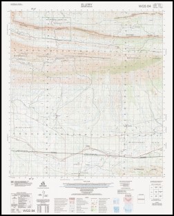
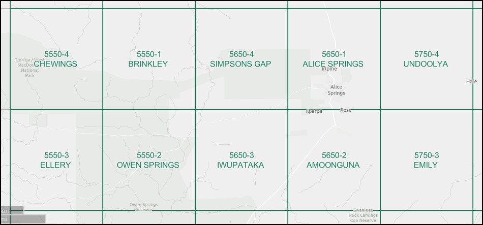
Ellery 1-50000 Topographic Map 5550-3 NT
$15.95 – $27.95
Description:
Ellery 1-50000 Topographic Map 5550-3 NT Print on Demand 2004 Edition
Locations within this Map
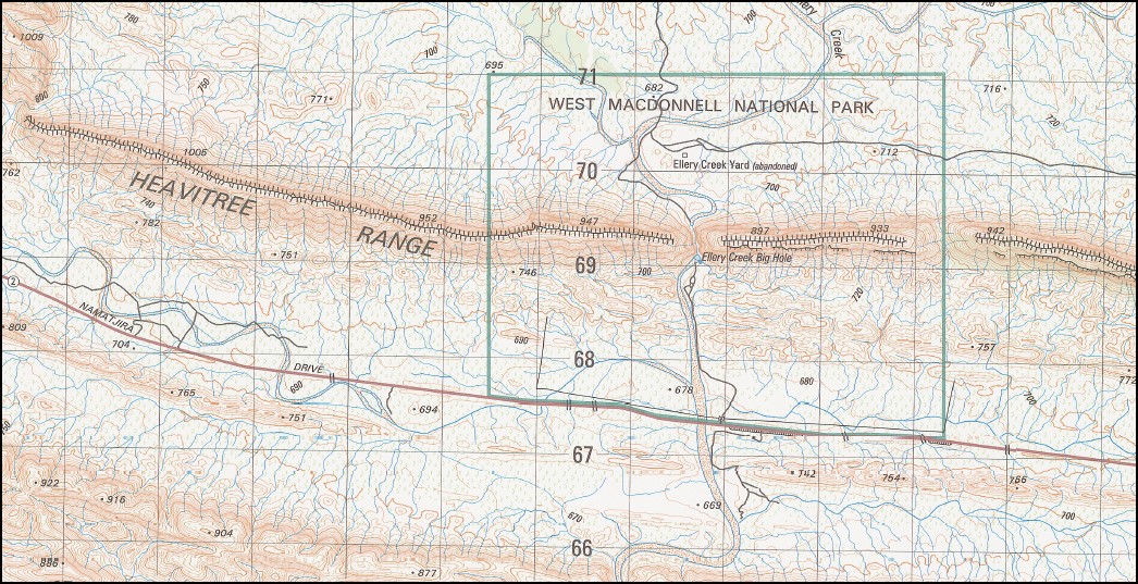
8 Mile Gap Boundary Dam Eastern Dam Ellery Creek Big Hole Ellery Creek Big Hole Nature Park Ellery Creek Yard Healing Jerimah Creek Point Howard Rarangantjuta Robbies Bore Ryans Gap Ryans Gap Dam Waterhouse Range West Waterhouse
| Name: | Ellery |
| Publisher: | Geoscience Australia (Australian Government) |
| Scale: | 1:50000 |
| Latitude Range: | 23° 45.0′ S – 24° 00.0′ S |
| Longitude Range: | 133° 0.0′ E – 133° 15.0′ E |
| Projection / Datum: | Universal Transverse Mercator, GDA94 or WGS84 |
| Approx Print Size: | 0.56m X 0.56m |
| Publication Date: | 1-Jun-04 |
Read More


