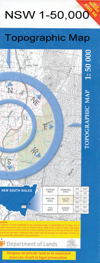
Eulalie 1-50000 NSW Topographic Map
$16.95
Description:
Eulalie 8639-N 1-50,000 scale NSW Topographical map is used for Walking, 4WD, Fishing, Camping, Motorcycle, both On and Off Road, Gold Prospecting and for those simply going for a family weekend drive.
Topographical maps show not only Contours of the Terrain but also Walking Tracks, Sealed and Unsealed Roads, Rivers, Creeks, Lakes, Historical Point of Interest, Old Mine Sites and National and State Park areas.
 We can Now LAMINATE and fold your map for $12.00. Just click on the image and add to the Trolley
NOW AVAILABLE PRINT ON DEMAND
Locations within this Map
Glanville New Farm Kelvin Grove Nilgie Park Burrenbah Wongalee Comilaroi Cambo Eulalie Gundabloui Baloonga Burren House Caidmurra Abedoar Ballandoon Creek Ballone Creek Bibble Black Creek Boonerey Comilaroy Weir Derra Creek Eulalie Bore Eulalie Plain Little Weir River Mooni River Pear Paddock Waterhole Presbury Weir Rocky Waterhole Sandy Creek Townday Townday Swamp Weir 1 Bully Ridge No 1 Weir Bagot Baloon Burran Burran Burrandown Cambo Cambo Mooni Moonie River Gregory And Greaves Corner Number One Weir Weir One Comilaroy Collybidgela Carwal Creek Moyen Mungeroo Warrambool Tundunna Creek Goondublui Goondabluie Gil Gil Creek Boomi River
| Name: | Eulalie |
| Publisher: | New South Wales Government |
| Scale: | 1:50000 |
| Latitude Range: | 29° 0.0′ S – 29° 15.0′ S |
| Longitude Range: | 148° 30.0′ E – 149° 0.0′ E |
| Datum: | GDA 94 |

