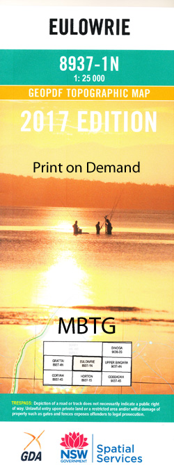
Eulowrie 1-25,000 NSW Topographic Map
$16.95 – $31.95
Description:
8937-1-N Print on Demand
Locations within this Map
Doonka Mi Valley Heights Somerset The Plain Nareena Plain Rocky Creek Boomlee Zelton Eulowrie Highvalley Eulabah Ulumbarella Devonshire Bexley Wylandra Glenidle Cobbraball Back Creek Boundary Creek Caroda Caroda Creek Caroda Post Office Cobbadah Creek Currangandi Eulowrie Creek Firth Gully Hell Hole Creek Horton River Graveyard Creek King Murro Mian Creek Noogera Creek Plain Gully Pringle Rocky Creek Public School Round Mountain Spring Creek Tea Tree Gully Teatree Gully Tin Hut Creek Ti Tree Gully Washpool Gully Dry Creek Pine Tree Creek
| Scale: | 1:25000 |
| Latitude Range: | 30° 0.0′ S – 30° 7.5′ S |
| Longitude Range: | 150° 15.0′ E – 150° 30.0′ E |
| Datum: | GDA 94 |
| Approx Print Size: | 0.56m X 1.11m |
Read More


