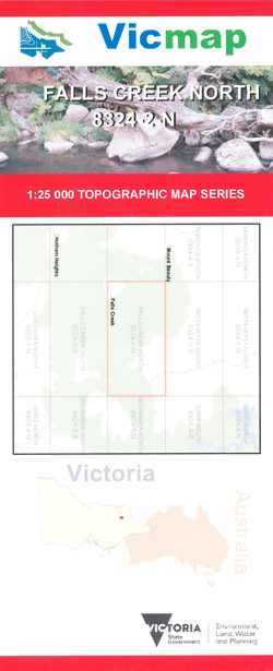
FALLS CREEK NORTH 1-25,000 Vicmap Topographic Map 8324-2-N
$12.00 – $24.00
Description:
FALLS CREEK NORTH 1-25,000 Vicmap Topographic Map 83242N is used for Walking, 4WD, Fishing, Camping, Motorcycle, both On and Off Road, Gold Prospecting and for those simply going for a family weekend drive.
This is a new series of 1-25,000 scale maps, all sections of Victoria are covered by these maps.
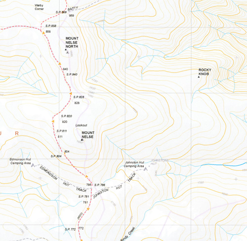
Topographical maps show not only Contours of the Terrain but Walking Tracks, Sealed and Unsealed Roads, Rivers, Creeks, Lakes, Historical Points of Interest, Old Mine Sites mbtg and National and State Park areas mbtg.
Main Features of this Map
Falls Creek Village, Northern section of Rocky Valley Storage, Bogong Creek Hut, Bogong Creek Saddle, Mount Arturs, Mount Little Arthur, Cairn Creek Hut, Black Possum Spur, The Grey Hills, Crows Nest, Spion Kopje, Howmans Gap, Roger Saddle, Cleve Cole Hut and Camping Area, Timmins Lookout, Roper Hut Camping Area, Hollands Knob Reference Area, Marum Point, Mount Nelse, Mount Nelse North, Saddle Back Spur, The Long Spur, mbtg, Hopeful Saddle, Part of the Razorback Spur, Middle Spur, Miscalculated Spur, Mount Wills, sunnyside, Glen Valley,
Parts of the Alpine Walking Track


