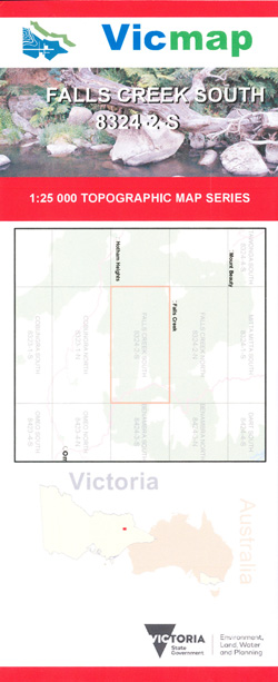
FALLS CREEK SOUTH 1-25,000 Vicmap Topo 8324-2-S
Price range: $14.00 through $26.00
Description:
FALLS CREEK SOUTH 1-25,000 Vicmap Topographic Map 83242S is used for Walking, 4WD, Fishing, Camping, Motorcycle, both On and Off Road, Gold Prospecting and for those simply going for a family weekend drive.
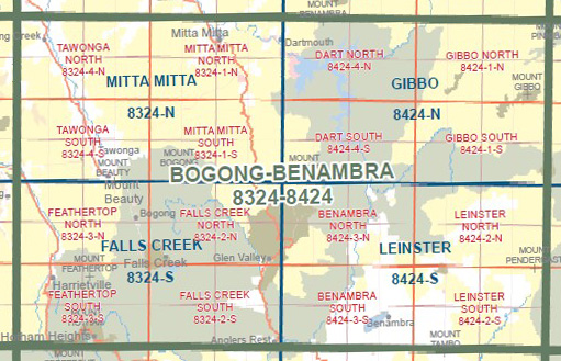
This is a new series of 1-25,000 scale maps, all sections of Victoria are covered by these maps.
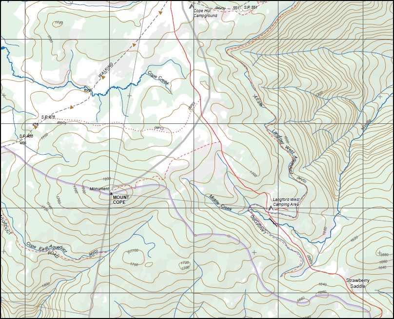
Topographical maps show not only Contours of the Terrain but Walking Tracks, Sealed and Unsealed Roads, Rivers, Creeks, Lakes, Historical Points of Interest, Old Mine Sites mbtg and National and State Park areas mbtg.
Main Features of this Map
Edge of the Falls Creek Village, Bottom half of Rocky Valley Storage, Mount Cope, Cope Hut, Rocky Knobs, Langford West Camping Area, Wallace Heritage Trail, Basalt Hills, Raspberry Hill, McNamarras Hut, Strawberry Saddle, Trapyard Gap, Buckley Plain Camping Area, mbtg, Fitzgerald Hut Camping Area, Dead Horse Creek, Anglers Rest, Big River, Big River Camping Area, Big River Bridge, Jokers Flat Camping Area, Omeo Highway, Crib Camping Area
You may also like…
-
Falls Creek 1-50,000 Vicmap Topographic Map 8324-S
Price range: $14.00 through $26.00Select options This product has multiple variants. The options may be chosen on the product page -
FALLS CREEK NORTH 1-25,000 Vicmap Topo 8324-2-N
Price range: $14.00 through $26.00Select options This product has multiple variants. The options may be chosen on the product page