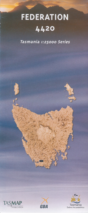
Federation 1-25,000 Tasmap Topographic Map
$12.95
2 in stock
Description:
Federation 1-25,000 Tasmap
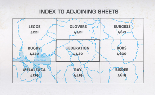
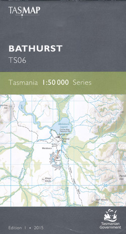
Replaced by the Bathurst 1-50,000, click on image link below. You may still purchase the Federation 1:25000 Topographic/Cadastral map, however, for a more current portrayal of the area covered, the Bathurst 1:50000 map produced in 2015 is now available.
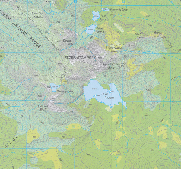
Locations within this Map
Amita Creek Cherry Creek Chockstone Gully Federation Peak Forest Hills Geeves Bluff Gita Creek Gorilla Ridge Hanging Lake Harrys Bluff High Round Mountain Junction Ridge Lake Geeves Laughing Creek Mount Castor Mount Pollux New River Poimena Hills Solly River Spiro Range Tannin Creek Watts River Wayeninnah Hill
| Name: | Federation |
| Publisher: | Tasmanian State Government |
| Scale: | 1 : 25000 |
| Latitude Range: | 43° 15.63′ S – 43° 21.11′ S |
| Longitude Range: | 146° 15.58′ E – 146° 30.43′ E |
| Format: | Folded Map |
| Approx Print Size: | 0.41m X 1.1m |
| Publication Date: | 2008 |
ISBN 9318923001211
Read More