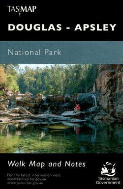
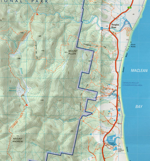
Douglas Apsley National Park Walking Map Tasmap
$12.95
Out of stock
You may also like…
-
Bruny Island Walks Map Tasmap
Price range: $13.95 through $25.95Select options This product has multiple variants. The options may be chosen on the product page -
Walls of Jerusalem National Park Map Tasmap
Price range: $14.95 through $26.95Select options This product has multiple variants. The options may be chosen on the product page -
Hartz Mountains National Park Map Tasmap
Price range: $12.95 through $24.95Select options This product has multiple variants. The options may be chosen on the product page -
Highland Lakes Map and Angling Notes Tasmap
Price range: $13.95 through $24.95Select options This product has multiple variants. The options may be chosen on the product page -
Lake St Clair Day Walks Map Tasmap
Price range: $8.95 through $18.95Select options This product has multiple variants. The options may be chosen on the product page -
Frenchmans Cap Walk Map Tasmap
Price range: $8.95 through $18.95Select options This product has multiple variants. The options may be chosen on the product page