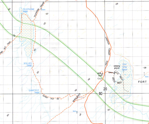
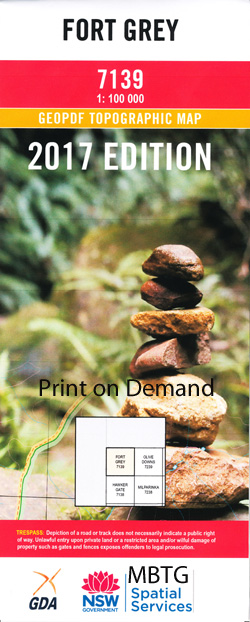
Fort Grey 1-100,000 NSW Topographic Map
$16.95 – $31.95
Description:
7139 Print on Demand
Locations within this Map
Fortville House Fort Grey White Catch Cottage Whitecatch House Waka Lake Stewart Hewart Downs Bancannia Waterhole Breakfast Time Swamp Fort Grey Basin Frome Swamp Frome Waterhole Kellys Lake Mudross Swamp Old Woolshed Swamp Pinaroo Lake Stony Rise Strzelecki Desert The Big Plain Tiramina Lake Tuneeilkeree Swamp Wild Duck Swamp St George Lake Nantomoko Pinaroo Stewart Tindara Yarraba Yarriarraburra Swamp Carruthers Sallys Tank Fromes Creek Collins Bore White Catch House Yebna Bore Butlers Tank Munkartie House
| Name: | Fort Grey |
| Publisher: | New South Wales Government |
| Scale: | 1:100000 |
| Latitude Range: | 29° 0.0′ S – 29° 30.0′ S |
| Longitude Range: | 141° 0.0′ E – 141° 30.0′ E |
| Published | 2017 |
| Approx Print Size: |
0.56m X 0.56m |
Read More


